Location
Mount Vernon, WA 98274
Location
Mount Vernon, WA 98274

A new collaborative platform brings together high-resolution satellite imagery and community-gathered observations to chart forest recovery and seasonal rhythms worldwide. By illuminating hidden refuges and regeneration patterns, it inspires a deeper sense of belonging and stewardship in the living world.
In the pale glow of early morning, a mosaic of green pulses across a digital screen. Shades shift, patches brighten, and subtle waves of renewal ripple through mapped woodlands. What looks like a living watercolor is actually the product of a groundbreaking project that merges satellite data with citizen science to reveal how forests rebound and adapt in an era of climate uncertainty.
Recent years have tested forests from California’s Sierra Nevada to the boreal reaches of Canada. Wildfires, droughts and insect outbreaks have left vast swaths of charred trunks and silent groves. At the same time, many areas are showing unexpected bursts of regrowth. Understanding these dynamics-where and why forests recover, or fail to rebound-has become a vital puzzle.
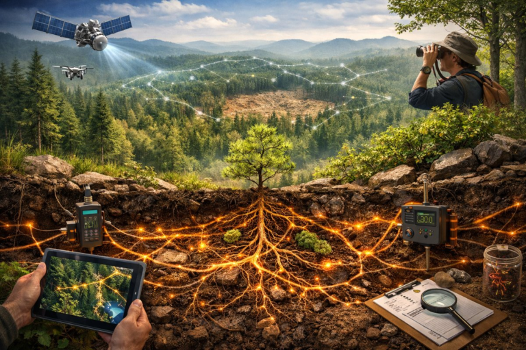
To fill in the blanks, a coalition of researchers has launched an interactive mapping platform powered by imagery from NASA’s Landsat satellites and data streams from Global Forest Watch. Paired with local volunteers logging leaf-out dates, bloom times and wildlife sightings, the project paints a dynamic portrait of seasonal change and ecosystem resilience.
Landsat offers a nearly half-century archive of surface images, capturing patterns invisible at ground level. By applying new algorithms that can distinguish young saplings from thick brush, scientists can track regrowth stages over weeks and months rather than years. When these insights meet field reports recorded via a popular phenology app, the result is a living atlas: forest by forest, season by season.
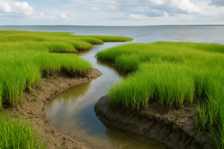
Across the Pacific Northwest, hikers, students and forest rangers have contributed thousands of observations on bud bursts, deer tracks and mushroom fruitings. These notes feed directly into the platform, validating satellite-based predictions and helping to fine-tune models of how microclimates influence recovery. In one study area, north-facing slopes spared from the fiercest heat now glow emerald earlier each spring.
“It’s thrilling to see pockets of regrowth in places we once thought lost,” says a project coordinator. “Local knowledge fills in the gaps where satellites can’t see beneath dense canopies or shadowed ravines. That combination is transforming our understanding of forest resilience.”
In some regions, groundwater-fed valleys are acting as natural refuges. Here, trees display faster leaf-out, and the undergrowth flourishes with wildflowers weeks before neighboring slopes. Identifying these hotspots helps land managers focus restoration efforts where they can reinforce nature’s own advantages.
Restoration initiatives are already using the platform to guide controlled burns, selective thinning and replanting. In a collaboration with regional tribes and conservation groups, managers are prioritizing seed collection from the most resilient stands. By propagating local genotypes adapted to microclimates, they aim to accelerate recovery in more vulnerable areas.
While much of the attention focuses on temperate woodlands, tropical forests in the Amazon basin and the Congo are also being mapped in unprecedented detail. Early results suggest surprising signs of regrowth in areas once declared deforested. As canopy gaps close and biodiversity returns, the platform records rising greenness indices that hint at recovering ecosystems.
Conservationists caution that mapping alone won’t stop deforestation or eradicate wildfires. But by shining a light on nature’s own solutions, it can galvanize policy shifts and private-land incentives. Insurance programs are beginning to explore premium discounts for properties near identified climate refuges, tying habitat health to economic resilience.
Beyond its practical applications, the project invites a more intimate engagement with the forest’s rhythms. Instead of viewing trees as static monuments, users witness the slow unfolding of new leaves, the autumn fade and the rebirth of undergrowth. That temporal depth fosters a sense of belonging, reminding observers that they, too, are part of an ever-turning cycle.
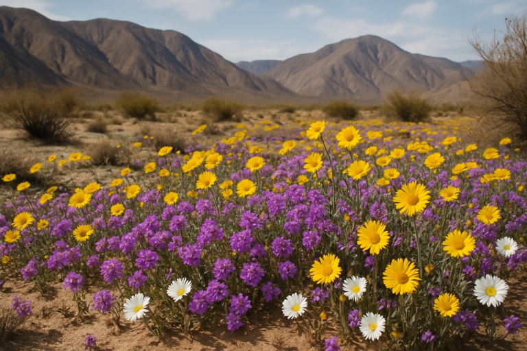
For many, the visualization of phenological shifts-earlier springs by an average of ten days in some regions, delayed autumn color by two weeks in others-makes abstract climate shifts feel immediate. Home gardeners adjust planting schedules. Teachers design outdoor lessons around bloom-watching. Families plan weekend hikes to match peak leaf color.
Mycorrhizal networks beneath the soil are also entering the frame. A new module overlays acoustic monitoring of subterranean fungal pulses, revealing how underground threads shuttle nutrients to stumps and seedlings alike. When satellite data flagged faster recovery zones, soil samples often showed richer fungal diversity, suggesting that mycelium plays a crucial role in forest renewal.
Connecting those aerial snapshots with subterranean whispers stitches together a more complete narrative: from the highest canopy leaves to the deepest fungal filaments. Users can now scroll through time-lapses that layer greenness, moisture and even soil respiration rates, creating a multisensory storyboard of recovery.
The platform’s next iteration plans to integrate low-flying drone surveys, acoustic wildlife sensors and inexpensive soil-moisture probes. By weaving together these disparate data streams, researchers hope to catch the early signs of stress-drought edges, pest outbreaks or invasive species-before they cascade into crises.
In a world where headlines often focus on loss, this project reframes the narrative around regeneration. It doesn’t ignore damage, but it refuses to treat tragedy as the final word. Forests are not static backdrops; they are living beings that breathe, adapt and fight back.
As evening falls, the digital mosaic shifts once more, tracing the gradual dimming of chlorophyll across continents. For anyone who cares to look, the map offers a gentle reminder: behind every burned trunk or fallen branch lies the promise of new life. And with each click and observation, we join the forest’s heartbeat.
To experience this evolving atlas firsthand, explore the online interface or contribute through your favorite phenology app. Even a single leaf report from your backyard can help illuminate a pattern that spans forests, watersheds and generations.