Location
Mount Vernon, WA 98274
Location
Mount Vernon, WA 98274

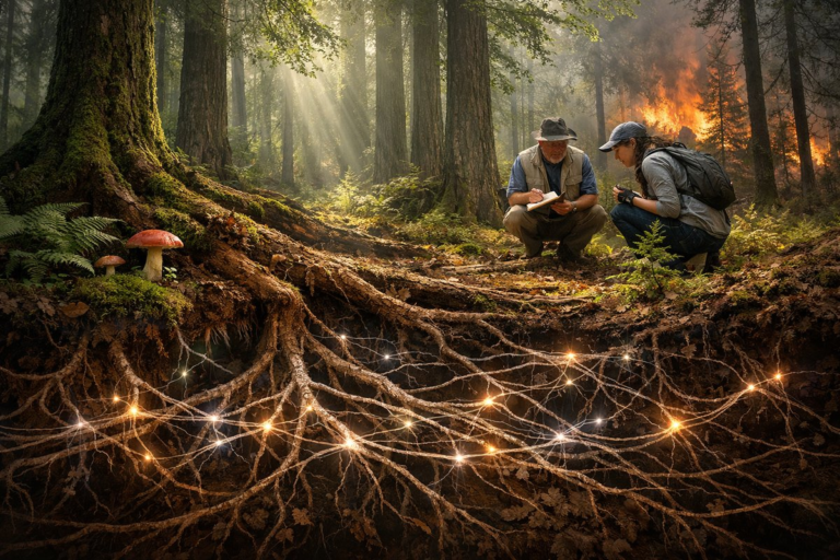
Beneath the towering canopy of old-growth woodlands, a hidden network of fungal threads knits tree roots together in an ancient alliance. New research reveals how these mycorrhizal connections boost forest resilience against drought, pests, and fire-and how community scientists can join the effort to protect these vital ecosystems.
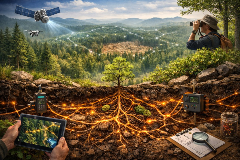
In a groundbreaking study, ecologists have revealed how underground fungal networks act as the vital circulatory system of forests, knitting together individual trees and accelerating recovery after disturbances. By combining satellite imagery, soil sensors, and citizen science data, researchers are mapping these hidden connections and uncovering new strategies for climate-smart restoration.
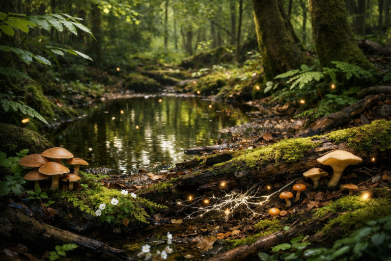
In the dim hush beneath a verdant canopy, a hidden orchestra of life unfolds. From fleeting seasonal pools to the vast fungal networks entwined in the soil, the forest understory reveals patterns of resilience and renewal. This exploration invites you to slow down, listen, and belong to nature's subtle rhythms.

Far above the forest floor, a world of tangled vines, epiphytic mosses, orchids and unseen creatures thrives in fragile harmony. Advances in canopy research and emerging technologies are revealing secret passages of nutrient exchange, microclimate refuges and species yet unknown, inviting us to look up and reconnect with the living architecture overhead.
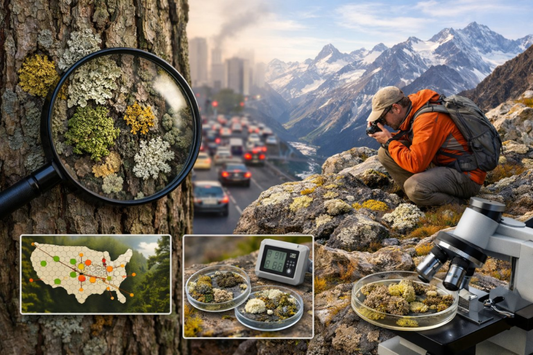
From the bark of city trees to remote alpine rocks, lichens quietly record changes in air quality and climate. Recent studies show shifts in lichen populations offer a living map of environmental health, bridging science with citizen curiosity.
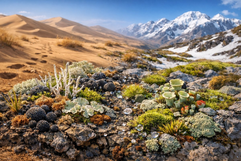
In every desert dune and alpine slope, an overlooked community of lichens, mosses, and cyanobacteria weaves a living tapestry that stabilizes soil, captures moisture, and fuels ecosystems. As climate shifts and human footprints expand, understanding these silent architects becomes vital to safeguarding landscape resilience.
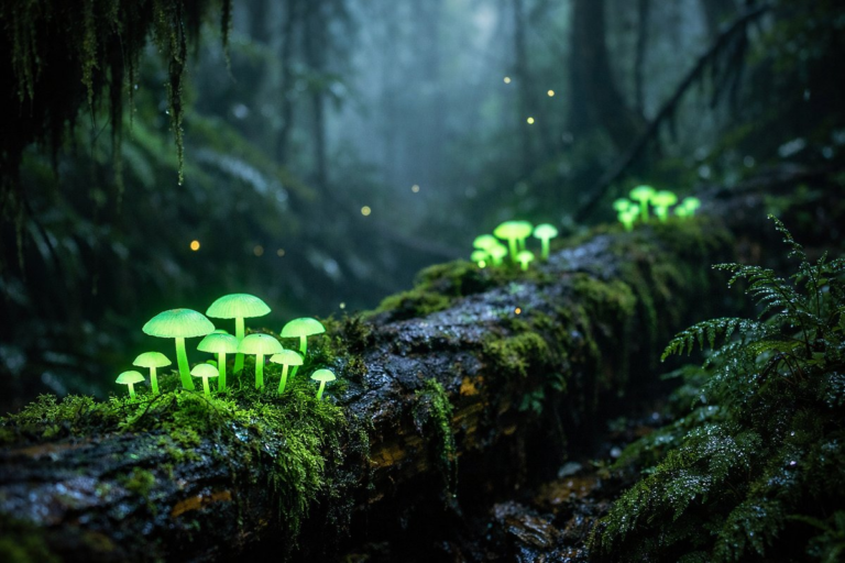
Deep in damp forests and along mossy logs, tiny bioluminescent fungi cast an otherworldly glow. Recent studies reveal these living lanterns do more than enchant the night-they may serve as indicators of ecosystem health and changing climates.
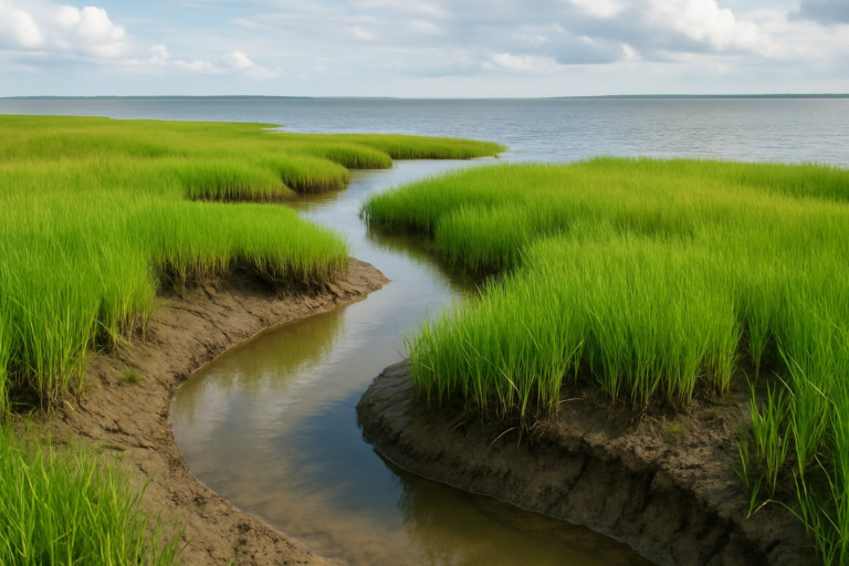
A new study reveals that tidal salt marshes along vulnerable shorelines are building natural defenses against rising seas. Researchers tracked patterns of sediment buildup and plant colonization to uncover how these ecosystems quietly shift and stabilize themselves in the face of climate pressure.
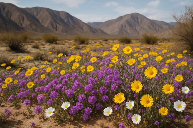
In arid landscapes, rare bursts of color emerge after winter rains, turning dust into delicate tapestries of yellow, purple, and white. These ephemeral wildflowers reveal hidden survival strategies and offer a window into climate rhythms that often go unnoticed.

Beneath the forest floor, a vast web of fungal threads knits trees together in a mutual embrace. Recent research shines light on these subterranean allies, revealing their crucial role in nutrient exchange and ecosystem recovery.