Location
Mount Vernon, WA 98274

Location
Mount Vernon, WA 98274

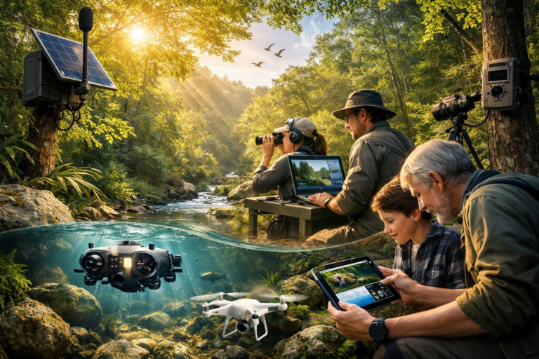
From sunlit canopies to hidden streams, a convergence of acoustic sensors, aquatic drones, and community-driven observation is reshaping how we witness nature's unfolding rhythms. An emerging tapestry of technology and curiosity is guiding researchers and everyday explorers alike toward deeper insight into biodiversity, climate resilience, and the poetry of place.
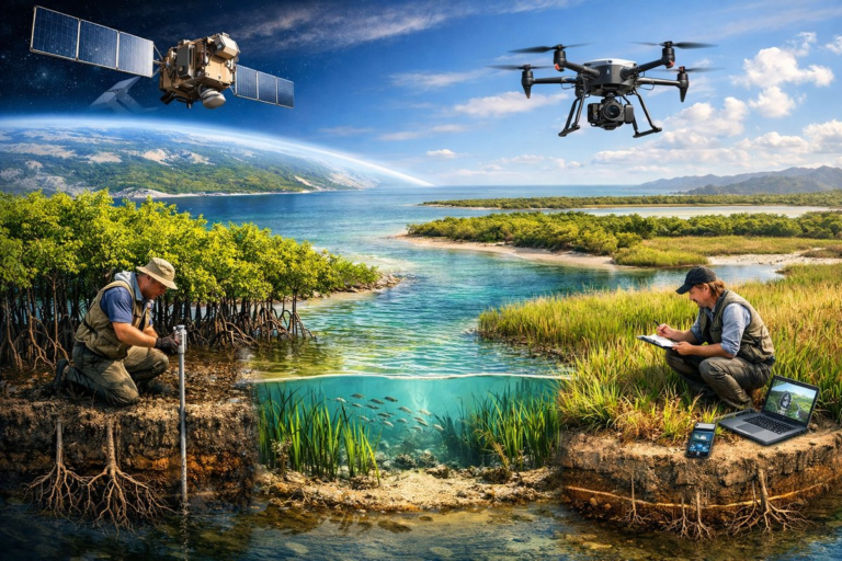
A pioneering collaboration of satellite imagery and drone-based surveys is transforming our understanding of blue carbon ecosystems along coastlines. High-resolution data and on-the-ground validation are now converging to reveal carbon stocks in mangroves, seagrasses, and salt marshes with unprecedented clarity.
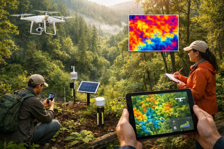
A new wave of low-impact monitoring tools is revealing subtle temperature, humidity, and moisture patterns within forests. By combining drones, ground sensors, and citizen reports, researchers are charting microclimate mosaics to guide restoration and resilience efforts.
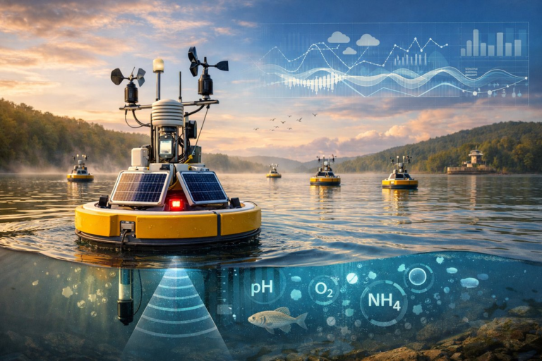
A fleet of autonomous sensor buoys is now drifting across an inland lake, continuously measuring water chemistry, acoustic signals, and meteorological data. By combining real-time sensor readings with citizen science and AI-driven analytics, researchers hope to illuminate subtle shifts in freshwater ecosystem dynamics and guide restoration efforts.
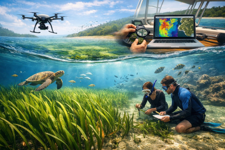
Vast underwater meadows of seagrass are quietly anchoring coastlines, capturing carbon, and supporting marine biodiversity. Recent advances in drone mapping, hyperspectral imaging, and citizen science are unveiling how these submerged grasslands recover after storms and how communities can help them thrive.
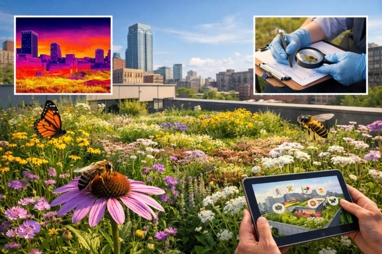
A recent multi-city study reveals that green roofs-once seen as mere architectural accents-now host diverse pollinator communities, offering small-scale refuges under scorching heat islands. Combining thermal imaging, citizen science, and rooftop habitat designs, researchers are mapping how these elevated oases sustain bees, butterflies, and hoverflies, hinting at new strategies for urban biodiversity and climate resilience.
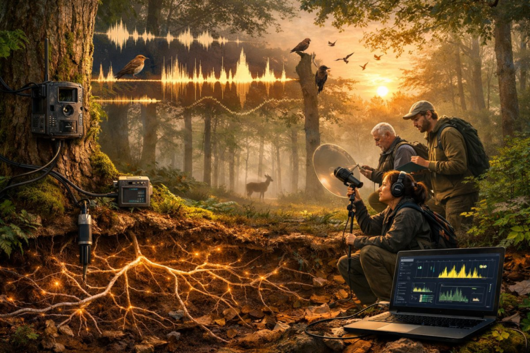
Ancient woodlands are revealing their secrets through a blend of AI-powered bioacoustics, soil sensors, and community-driven fieldwork. From dawn choruses to root networks, a new wave of nature monitoring unites technology and curiosity to safeguard forest resilience.
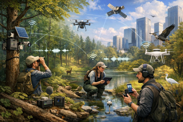
A pioneering network of sensors, drones, and community scientists is shedding fresh light on how forests, wetlands, and cities are interconnected. By blending remote monitoring, bioacoustics, and citizen observations, researchers are building a dynamic map of biodiversity and resilience-from amphibian calls in urban creeks to canopy health in protected woodlands.
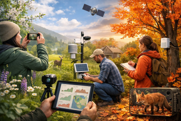
As spring buds unfurl and autumn leaves blush, a quiet revolution is reshaping how we track nature's calendar. Across rural valleys and suburban backyards, citizen scientists armed with smartphones, time-lapse cameras, and low-cost sensors are documenting seasonal shifts at an unprecedented scale. This grassroots movement is not only deepening our connection to the living world-it's fueling climate research and policy with real-time, hyperlocal data.
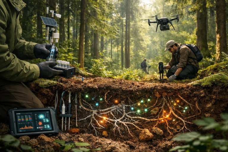
In the hush beneath forest canopies, scientists are turning their attention to the vibrant communities of bacteria and fungi that reside in soil. Cutting-edge sensors, rapid DNA samplers, and drone-based restoration techniques are illuminating how these unseen networks drive carbon sequestration, ecosystem recovery, and sustainable land management.