Location
Mount Vernon, WA 98274

Location
Mount Vernon, WA 98274
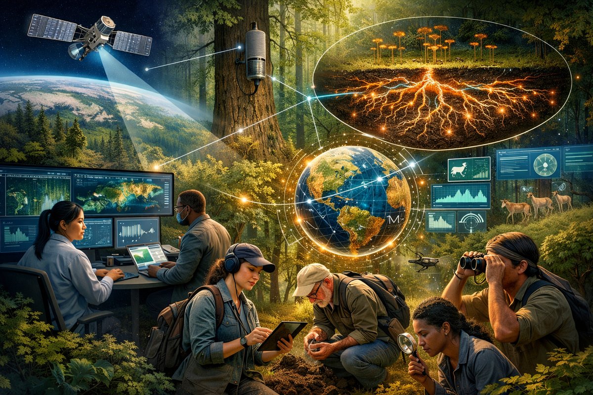
A global alliance of researchers, tech innovators, and citizen scientists has launched an integrated platform merging satellites, acoustic sensors, fungal network mapping, and community observations to track forest resilience. This breakthrough approach aims to deliver real-time insights on ecosystem stressors-from drought and disease to biodiversity loss-while empowering local participants worldwide.
In a milestone for environmental science, a coalition of universities, nonprofits, and grassroots networks has rolled out an unprecedented forest health monitoring system. By weaving together data streams from satellite LiDAR, drone surveys, acoustic recorders, soil sampling, and fungal network mapping, the initiative promises a holistic view of ecosystem resilience at scales ranging from backyard woodlots to sprawling national parks.
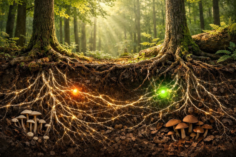
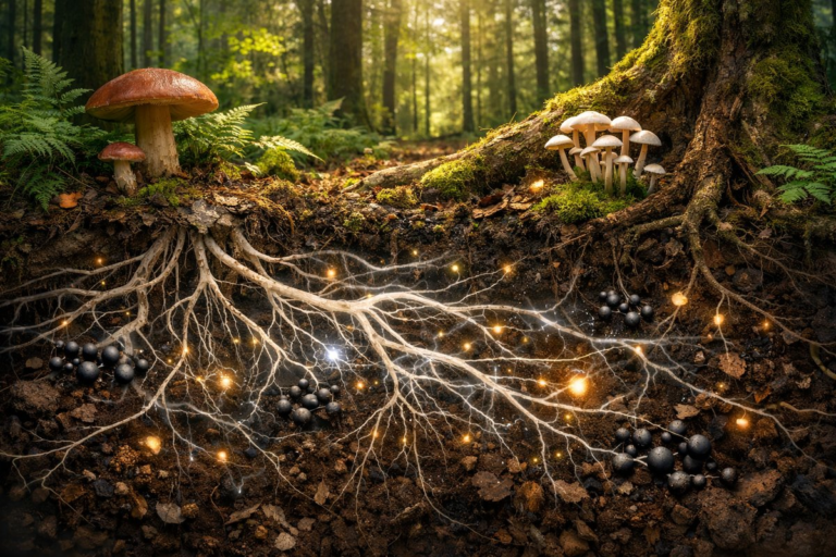
Rather than relying on a single technology, the Global Forest Synthesis Initiative couples NASA’s spaceborne LiDAR scans with airborne drone imagery, ground-based soil moisture sensors, and an expanding array of bioacoustic stations. These recordings capture the dawn chorus of birds, the subtle rustle of insects under leaf litter, and even the creak of aging trunks. Meanwhile, an open-access mapping tool called FungiNet lets participants chart the hidden mycelial highways beneath forest floors-pathways that sequester carbon, recycle nutrients, and knit communities of trees together.
Early trials in temperate forests of North America and boreal regions of Northern Europe have already revealed startling patterns. In parts of the Pacific Northwest, where summer droughts intensify, soil moisture sensors flagged extended dry spells weeks before visible wilting. Those alerts triggered targeted drone flights, which mapped localized canopy dieback and guided forest managers in deploying water-retentive mulch or selecting drought-tolerant saplings for replanting.
In Scandinavia’s pine-spruce woodlands, acoustic data picked up an uptick in the chatter of bark-beetle infestations-signals that standard visual surveys often miss until outbreaks spiral out of control. By combining these acoustic alerts with satellite vegetation indices, researchers fast-tracked quarantine measures, reducing timber losses and slowing the insect’s northward march.
Underpinning these technological layers is a thriving citizen science network. Amateur naturalists use smartphone apps to upload phenology observations-first leaf flush, peak flowering, and fall color transitions. Their time-stamped entries, integrated with remote observations, help refine models that forecast seasonal shifts tied to climate change. In the Amazon basin, for instance, local volunteers track the arrival of fruiting season trees, feeding those data into algorithms that predict wildlife movements and potential human-wildlife conflicts.
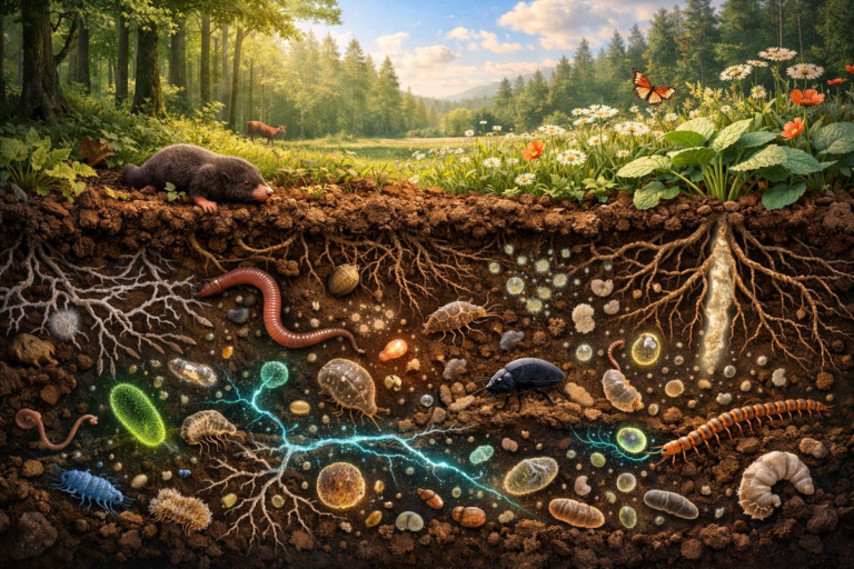
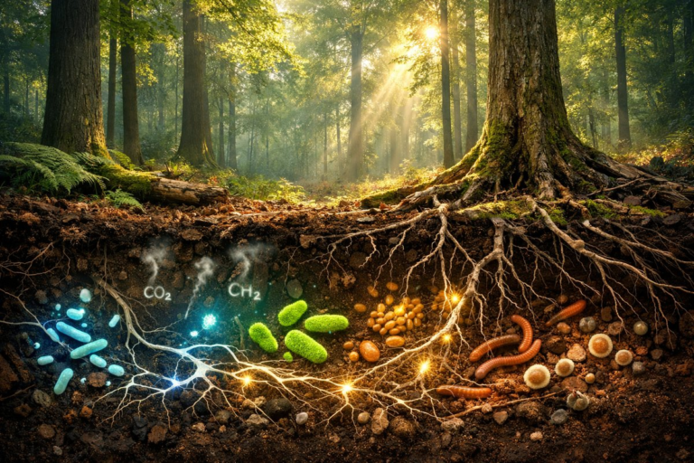
A landmark feature of the platform is its living soil component. Field teams and backyard stewards alike collect soil cores, which are scanned with handheld spectrometers. Combined with DNA sampling kits provided at cost, these efforts reveal microbial diversity and fungal biomass. The data are then uploaded to a central database where machine learning tools identify patterns linked to carbon storage and nutrient cycling.
Mapping mycelial networks has emerged as a critical frontier. Using lightweight ground-penetrating radar probes, researchers trace the underground communication channels that connect distant trees. This subterranean web not only distributes water and nutrients but also signals distress-trees under drought stress emit chemical cues that neighboring roots detect, sometimes sending carbohydrates back toward vulnerable individuals.
By visualizing these networks in three dimensions, the consortium can assess how disturbances-log jams, landslides, or invasive species-disrupt connectivity. In fire-prone regions of Australia, post-burn mapping has pinpointed refugia where fungal networks survive, facilitating faster forest recovery. Those insights are now guiding prescribed burn practices to preserve vital underground corridors.
To ensure accessibility, all data streams are presented through a web dashboard tailored to diverse users. Land managers can view high-resolution maps of canopy density, soil moisture heatmaps, and acoustic spectrograms on demand. Educators and student groups explore simplified interfaces, engaging in mini-projects that enrich the broader database. Policy makers receive automated risk assessments highlighting wildfire hotspots and biodiversity decline, grounding decisions in real-time evidence.
Privacy and local sovereignty are baked into the design. Communities set permissions for data collected on private lands, and sensitive locations-such as habitats of endangered species-are masked or blurred. The initiative also channels revenue from public-private grants into local stewardship funds, ensuring benefits flow back to the regions that supply essential field data.
Behind the dashboard lies an open-source architecture built for flexibility. New sensor modules-air quality monitors, thermal cameras, even crowd-sourced drone footage-can be plugged in within days. A recent upgrade integrated real-time weather station feeds, allowing models to link humidity, wind patterns, and lightning strike data with forest fire ignition risk.
The platform’s modularity has attracted novel applications. In Southeast Asia, resurging peatland fires release massive carbon pulses when drained soils combust. Local university teams have adapted the soil moisture and spectrometer modules to monitor peat saturation, alerting authorities before smoldering spreads. In West Africa’s rapidly expanding agroforestry zones, smallholder farmers use a streamlined version of the interface to optimize planting schedules, reduce soil erosion, and boost yields.
Collaboration with existing citizen networks like iNaturalist and eBird adds biodiversity observations into the mix. When a rare orchid blooms or a migratory bird passes through a forest patch, those sightings enrich the platform’s layered view of ecosystem health. Automated cross-referencing of species occurrences with habitat condition maps is already pinpointing conservation priorities.
Looking ahead, the coalition plans to harness machine learning to fill data gaps in understudied regions. Low-cost acoustic sensors and soil kits will be air-dropped into remote landscapes, with local operators sending back monthly data via satellite uplink. In parallel, AI algorithms will sift through decades of archived satellite imagery to reconstruct historical baselines, closing the loop between past and present conditions.
Experts emphasize that technology alone doesn’t heal forests-human relationships do. By connecting indigenous guardians, academic researchers, park rangers, and schoolchildren, the platform fosters a shared sense of guardianship. In one telling example, a youth group in the Pacific islands mapped coconut-palm monocultures alongside native mangroves, sparking a replanting campaign that balanced coastal protection with agricultural needs.
The Global Forest Synthesis Initiative has ignited fresh hope for managing forests under mounting climate stress. Its blend of high-tech sensors, underground network mapping, and human observation not only offers early warnings but also cultivates collective care for the living tapestry of woodlands. As the system rolls out across more continents, it promises to transform how we perceive, protect, and participate in the world’s forests.