Location
Mount Vernon, WA 98274

Location
Mount Vernon, WA 98274
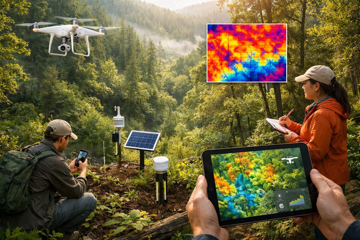
A new wave of low-impact monitoring tools is revealing subtle temperature, humidity, and moisture patterns within forests. By combining drones, ground sensors, and citizen reports, researchers are charting microclimate mosaics to guide restoration and resilience efforts.
In the quiet understorey of an old-growth forest, small shifts in temperature and humidity can ripple through the ecosystem, influencing seed germination, insect behavior, and fungal communities. Until recently, those fine-scale variations were invisible to conservation managers. Now, a suite of emerging technologies is revealing the mosaic of microclimates beneath the canopy, offering new insights into how forests respond to drought, disease, and shifting seasons.
Instead of relying on a handful of weather stations at forest edges, researchers are deploying drones equipped with thermal and multispectral cameras to capture temperature gradients at different heights. Supplementing aerial scans, slender sensor nodes affixed to tree trunks and branches record humidity levels, leaf wetness, and bark temperature in real time. On the forest floor, soil moisture probes and infrared ground sensors complete the network, creating a three-dimensional tapestry of environmental data that can be updated daily or even hourly.
Citizen scientists have joined the effort by carrying pocket-sized field meters on weekend hikes. Using open-source mobile apps, they submit measurements of air temperature beneath dense foliage or record rainfall accumulation in natural clearings. These crowd-sourced observations fill gaps between fixed nodes and flying platforms, capturing the human scale of forest exploration and engagement. In remote regions where installing an extensive sensor grid may be cost-prohibitive, volunteer observations can spark targeted deployments of more sophisticated devices.
A pilot study in the Pacific Northwest recently demonstrated the power of this integrated approach. Over the course of six months, researchers mapped microclimates in a Douglas fir-western red cedar stand that had suffered tree loss from past logging and drought stress. Drones flew daily missions at dawn, mapping thermal hotspots where drought-stressed trees emitted more heat through evaporative cooling loss. Meanwhile, ground sensors flagged pockets of unusually low soil moisture, guiding crews to sites in need of mulching and drip irrigation. Citizen measurements confirmed a correlation between canopy density and understorey humidity, validating drone data and helping refine the placement of future sensors.
These layered data streams are synced into three-dimensional models that reveal corridors of cooler air moving downhill at night or sun-trap clearings that heat up by midday. Advanced machine learning algorithms sift through millions of readings to highlight anomalies-areas where soil remains unusually dry despite recent rainfall or where canopy gaps are disrupting normal temperature flows. Forest managers can then prioritize restoration tasks, from targeted planting of shade-tolerant species to precise thinning around vulnerable old-growth pockets.
Beyond single-stand analyses, aggregated microclimate maps are beginning to inform landscape-scale conservation planning. By stitching together data from adjacent preserves, protected corridors, and private woodlots, regional coalitions can identify climate refugia-patches of forest that remain cool and moist under rising temperatures. These refugia can serve as seed banks and biodiversity reservoirs, anchoring ecosystem recovery following heat-driven die-offs in surrounding areas.
Practical applications are already emerging. Restoration teams have used microclimate overlays to time planting seasons with greater precision, ensuring young seedlings experience optimal moisture conditions as they emerge. Early detection of thermal stress has helped containment of bark beetle outbreaks, as warmer tree bark signals weakened defenses. Even camping and recreation planning benefit from the data, guiding trail design away from mosquito-infested wet pockets or identifying natural springs suitable for refilling water bottles.
Despite the promise, challenges remain. Powering hundreds of remote sensor nodes through dark winter months requires careful balancing of battery capacity and solar panel exposure. Data management can become unwieldy as terabytes accumulate, demanding robust cloud infrastructure and standardized formats. Ensuring data quality from volunteer observers calls for simple calibration routines and built-in app validation checks. Cost considerations also mean that community partnerships and open-source hardware designs are critical for scaling networks beyond well-funded research sites.
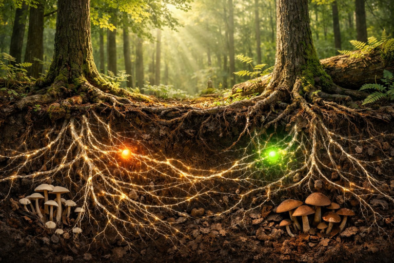
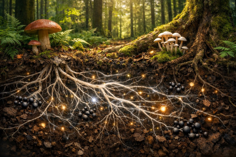
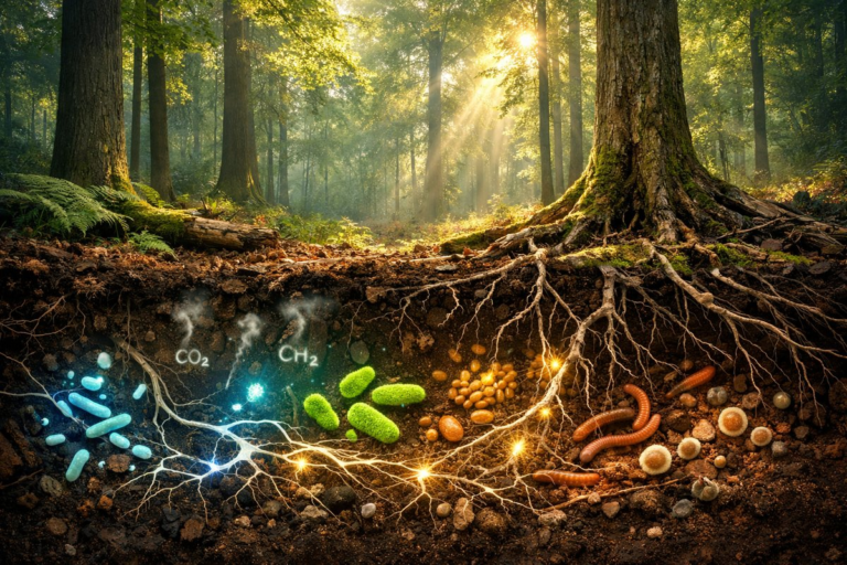
Looking ahead, researchers envision coupling microclimate maps with rich biological datasets-fungal networks revealed through soil eDNA sampling, insect biodiversity captured by acoustic recorders, and canopy health gauged by spectral signatures of chlorophyll activity. Integrating these layers could unlock deeper insights into how microclimate and biology interact, revealing feedback loops that underlie forest resilience or collapse.
Perhaps most importantly, the quiet revolution of microclimate mapping is reconnecting people to the subtle rhythms of the living forest. By making visible the hidden thermal streams, moisture pockets, and seasonal shifts that shape every leaf and root, this technology invites curiosity and stewardship. In a time when global trends often feel overwhelming, charting the forest’s hidden climates offers a grounded way to care for the ecosystems we still have-and to nurture the places we hope to restore.