Location
Mount Vernon, WA 98274

Location
Mount Vernon, WA 98274
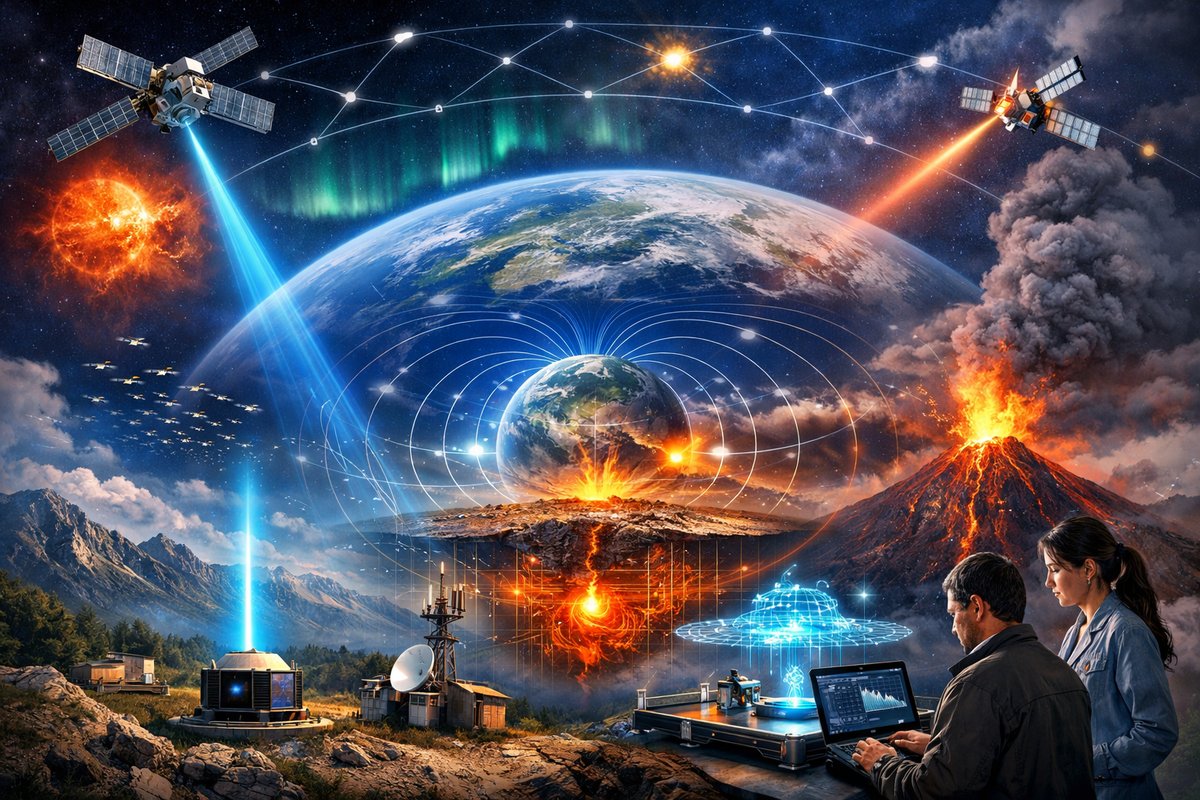
A new network of ground and space-based quantum sensors is mapping subtle shifts in Earth's gravity and magnetic fields, revealing real-time signals from beneath the surface and above in near-space. By leveraging emergent swarm algorithms and cold-atom interferometry, researchers hope to deliver early-warning systems for earthquakes, volcanic unrest, and space weather disturbances.
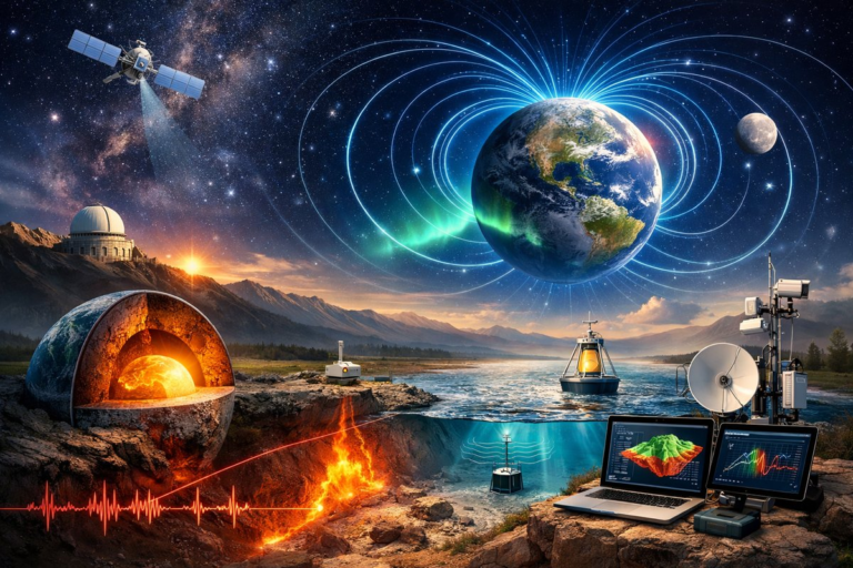
A consortium of geophysicists and quantum engineers has launched a pilot network that weaves together more than a hundred advanced sensors-ranging from quantum gravimeters to fluxgate magnetometers-into a self-organizing mesh capable of continuously tracking Earth’s invisible forces. Dubbed GeoSynap, this platform combines space-borne magnetometers from low-Earth orbit with ground stations equipped with cold-atom interferometers to achieve unprecedented sensitivity to gravity anomalies and geomagnetic fluctuations.
Over the past decade, satellites dedicated to mapping Earth’s magnetic field have produced global models at resolutions of tens of kilometers. The Swarm satellite constellation, for example, delivered a leap forward in characterizing magnetospheric currents and crustal anomalies. But the new ground component of GeoSynap pushes resolution to the next level: local fluctuations of less than one nanotesla can now be pinpointed over areas under active volcanic zones or sprawling sedimentary basins. In mid-2023, a network pilot in southern Mexico registered subtle drifts of the local field, foreshadowing underground magma migration ahead of a minor eruptive event.
Gravity mapping has traditionally relied on satellite missions such as GRACE and GOCE, which infer mass redistributions by tracking minute changes in orbital motion. GeoSynap complements these global surveys with quantum gravimeters housed in field-deployable enclosures. These instruments use cold-atom interferometry to measure gravitational acceleration with an accuracy down to a few microgals. In Alpine test sites, teams observed seasonal shifts in groundwater storage and snowpack melt with centimeter-scale precision. Near a Chilean volcano, researchers correlated spikes in local gravity with magma chamber infill, offering a potential early warning days before seismic swarms became significant.
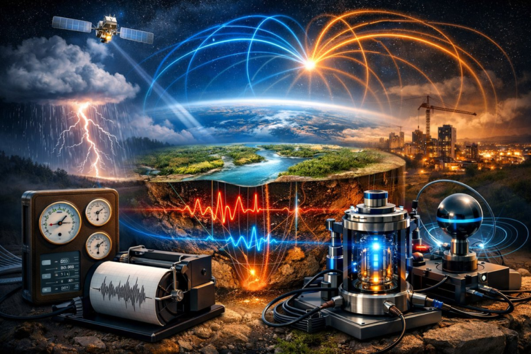
At the heart of the system are cold-atom interferometers: clouds of laser-cooled atoms suspended in a vacuum chamber, allowed to fall freely while laser pulses probe their quantum wave nature. By comparing the phase shifts that atoms acquire in different paths, these devices detect changes in gravitational acceleration or inertial forces. A recent study published in Science Advances demonstrated that a transportable system could operate unattended for weeks, using onboard batteries and solar panels, and maintain calibration within parts per billion.
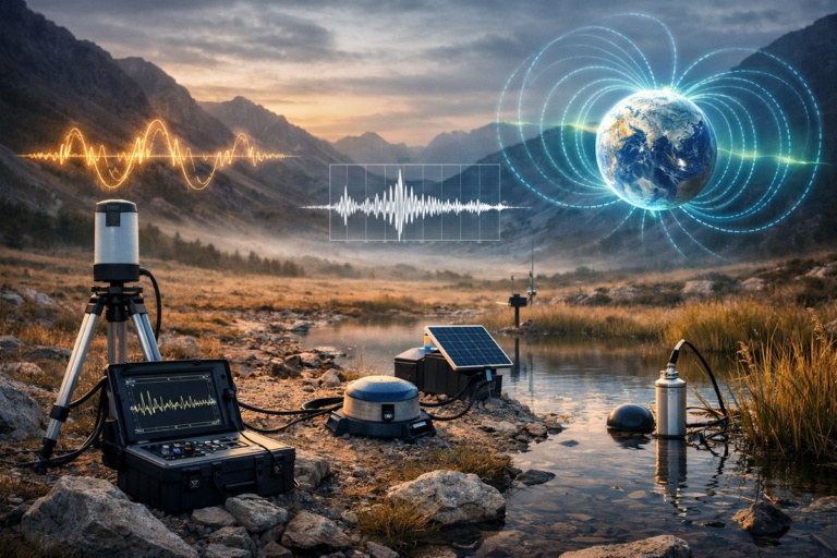
Geomagnetic sensing in GeoSynap relies on an array of fluxgate magnetometers, optically pumped magnetometers, and superconducting quantum interference devices (SQUIDs) in specialized facilities. Fluxgate sensors, often used in geophysical surveys, provide robust readings in harsh environments, while optical magnetometers push the envelope down to picotesla resolution. These instruments have tracked ionospheric currents during solar storms and detected low-frequency variations tied to ocean tides. By cross-referencing signals from multiple sites, the network can distinguish local sources-such as underground iron ore deposits-from global perturbations driven by space weather.
A defining feature of GeoSynap is its emergent network protocol. Inspired by social insects and flocking birds, each sensor node shares minimal metadata-time stamps, quality metrics, and neighbor lists-with adjacent nodes. Instead of routing all data through a central hub, nodes self-elect clusters, dynamically adjusting communication pathways when new units join or battery levels drop. This decentralized model enhances resilience: if a cluster near the coast loses connectivity due to a storm, inland nodes reroute data through alternative peers without human intervention.
The emergent behavior extends beyond communications. Data fusion algorithms running at the edge perform initial anomaly detection, flagging events that deviate from historical baselines. If several nodes in proximity report concurrent magnetic spikes or gravity deviations, the system elevates the alert to regional control centers. In a recent trial, a cluster of sensors in western Turkey autonomously identified a series of low-magnitude tremors and triggered a local seismic network to increase sampling rates, providing richer data for aftershock analysis.
Applications of this network span hazard monitoring, resource exploration, and climate science. In regions prone to earthquakes or volcanic unrest, the fusion of gravitational, magnetic, and seismic data could shave hours off current warning times. Mineral and groundwater prospectors can use high-resolution magnetic anomaly maps to locate ore bodies or aquifers with lower environmental impact compared to traditional drilling. Hydrologists are exploring gravity changes to quantify melting ice sheets and track desertification processes in semi-arid regions.
In practice, GeoSynap pilots have already delivered actionable insights. In northern Iceland, a temporary array recorded a slow uplift of a volcanic caldera over several weeks. By correlating gravity increases with GPS-measured ground deformation, scientists inferred magma accumulation rates and advised local authorities on potential evacuation planning. Meanwhile, in the Netherlands, a dense grid of sensors detected minute gravity drops coinciding with dry spells, confirming predictions of groundwater recharge models and helping water managers optimize reservoir releases.
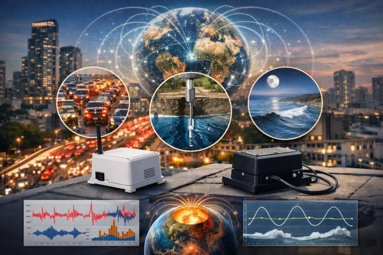
Building and maintaining such a network poses technical hurdles. Sensor calibration must account for temperature drifts, electromagnetic interference, and mechanical vibrations. Field teams have developed portable test rigs powered by renewables-solar panels and small wind turbines-coupled with energy-aware sleep cycles to prolong uptime. Data integrity protocols ensure that outliers caused by animal contact or human activity are filtered before triggering false alarms. Meanwhile, the emergent mesh adapts to bandwidth constraints by compressing time series into key statistical descriptors when satellite uplinks are congested.
Sustainability is a core design principle. Sensor enclosures use recycled aluminum and composite panels, while solar cells are paired with thermoelectric generators that can harvest heat from underlying soil or volcanic vents. By balancing power budgets through dynamic scheduling-high-power sensing during expected event windows and low-power standby at other times-the network can run autonomously for months without human replenishment.
Open science and citizen engagement underpin GeoSynap’s philosophy. A public web portal provides anonymized data streams from unclassified regions, inviting hobbyists and researchers to visualize real-time magnetic and gravity maps. Educational outreach programs have seeded DIY versions of magnetometer and gravimeter kits in schools, allowing students to replicate small-scale experiments in local parks or backyards. This grassroots involvement fosters a deeper appreciation for the hidden forces shaping our planet.
The vision extends into the near future: integrating GeoSynap outputs with machine-learning models that forecast seismic hazards and volcanic eruptions. By training neural networks on combined geophysical signals, researchers hope to tease out subtle precursors that elude conventional monitoring. Likewise, urban planners could use microgravity surveys to detect subsidence due to tunnel excavation or groundwater extraction, protecting infrastructure and communities.
In an era defined by rapid environmental change, the ability to observe Earth’s natural forces with quantum precision marks a milestone in geoscience. As GeoSynap and similar networks proliferate, a new chapter unfolds-one where gravity wells and magnetic currents become part of our watchful toolkit, revealing the planet’s internal rhythms and guiding decisions that safeguard both people and ecosystems. The quiet hum of cold-atom sensors and magnetic coils may soon join the chorus of scientific instruments that help us read the language of the Earth more fluently than ever before.