Location
Mount Vernon, WA 98274

Location
Mount Vernon, WA 98274
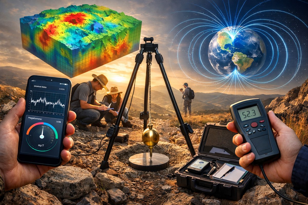
A new grassroots initiative harnesses smartphone sensors and simple field kits to chart subtle variations in Earth's gravitational pull and magnetic anomalies. By combining accelerometers, pendulum rigs, and handheld magnetometers, volunteers worldwide are building the most detailed crowd-sourced map of geophysical forces ever attempted.
Walk up a mountain or descend into a valley and you might notice your body reacting ever so slightly to the pull of Earth. What feels like a brief breathlessness or a faint tug is actually a window into the fact that gravity is not uniform across the planet. Tiny variations in local mass distribution, underground structures and topography create measurable shifts in gravitational acceleration. Until recently, capturing these nuances required expensive instruments and specialized teams. Today, a global community of curious volunteers is rewriting the playbook by using everyday gadgets and simple kits to reveal gravity’s hidden contours.
At the heart of this movement is an open-source platform called GravityMap. It leverages the accelerometer found in almost every modern smartphone combined with a do-it-yourself pendulum measurement rig to track local gravitational strength. Participants level their device on a small tripod, attach a calibrated pendulum set, and run a companion app that records tiny deviations from standard gravity. Within minutes, the app captures dozens of readings and geo-tags each result. When aggregated across thousands of users, these data points form a high-resolution gravity anomaly map spanning cities, coastlines and remote wilderness.
But accelerometers only tell part of the story. Many smartphones also include a magnetometer that senses changes in Earth’s magnetic field. GravityMap’s developers tapped into that capability as well, adding a magnetic anomaly layer to the platform. For those seeking higher fidelity, a portable handheld magnetometer plugs into the same phone and delivers sub-nanotesla precision. Equipped with these dual sensors, volunteers can sweep parking lots, urban centers and field sites to uncover buried metal, underground faults or remnants of geological formations.
Achieving reliable measurements at this scale requires careful calibration and time synchronization. That’s where a network of fiber-optic cable spools comes into play. Several research partners have deployed strands of fiber cable across test corridors, sending synchronized light pulses that serve as a timing reference. Smartphone clocks can then be aligned with the network’s nanosecond-accurate pulses, reducing timing drift between devices. While fiber backbones might sound like high-end infrastructure, small spools can be coiled in backpacks and deployed in the field for weekend workshops.
Field trials throughout the past year have put these methods to the test. In the fjords of Scandinavia, volunteers scaled cliff edges with tripods, smartphones and steel pendulum bobs, mapping gravity dips near glacial uplift zones. In the Sonoran Desert, teams recorded magnetic stripes revealing the traces of ancient lava flows buried beneath shifting sands. In tropical rainforests, jungle explorers used handheld magnetometers and battery-powered data loggers to chart mineral veins otherwise invisible to satellite surveys.
Data flow into a global cloud database where automated algorithms validate readings, flag outliers and stitch adjacent surveys together. A public dashboard renders color-coded overlays of gravity and magnetic anomalies down to 100-meter resolution. Experts can filter by date, altitude or sensor type, while community members add field notes and photos to each survey point. The result is an interactive atlas of Earth’s subtle forces, all generated by citizen scientists.
Why does it matter? Detailed gravity models help geologists refine our understanding of crustal structure, locate groundwater reservoirs and monitor volcanic activity. Magnetic maps guide mineral exploration, archaeological surveys and infrastructure planning. By democratizing access to these measurements, GravityMap is accelerating research, supporting local decision-making on resource use and inspiring students to explore geophysics without a million-dollar budget.
Teachers are already integrating GravityMap kits into classroom experiments. Students learn about harmonic motion by adjusting pendulum lengths, compare their schoolyard gravity reading with peers halfway around the world, and identify magnetic anomalies in playground swing bolts. Some schools have started gravity hackathons, where teams race to gather the most accurate local data in a single afternoon.
Looking ahead, the platform plans to incorporate barometric pressure sensors and remote-controlled drones. An airborne module carrying a compact accelerometer and magnetometer could scan inaccessible peaks and canyons, feeding live data into the system. Back on the ground, citizen operators can deploy drone-captured imagery alongside field measurements for richer context. Open API hooks invite developers to build visualization tools, while planned integrations with weather networks aim to correlate pressure changes and tiny gravitational shifts during storms.
Research labs are experimenting with quantum sensors that promise even greater precision, but cost and logistical hurdles remain high. Until those next-generation devices become ubiquitous, the grassroots approach is proving that simple tools, guided by curiosity and collaboration, can reveal extraordinary patterns. In a world where many phenomena feel beyond reach, citizen-powered gravity and magnetic mapping puts the invisible on display, turning smartphones and pocket-sized rigs into instruments of discovery.
This initiative is more than a technical exercise. It is a celebration of wonder and collective ingenuity. Every data point sent from a backyard or mountaintop carries a spark of fascination with the invisible threads that govern our planet. By charting these natural forces, volunteers forge a deeper connection with the ground beneath their feet and the unseen energies that shape our world.












