Location
Mount Vernon, WA 98274

Location
Mount Vernon, WA 98274
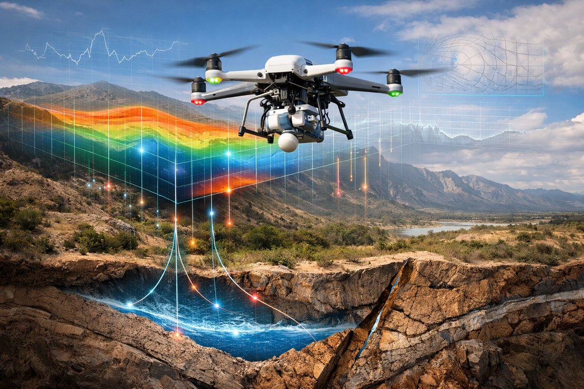
A new generation of field experiments is combining lightweight drones with miniature magnetometers and gravity sensors to reveal subterranean water flows, fault lines and geological structures in unprecedented detail. This article explores how these airborne platforms, paired with advanced data analytics, are decoding natural forces and reshaping environmental monitoring.
For centuries, scientists have probed Earth’s natural forces with instruments fixed firmly on the ground or aboard large research aircraft. Now, a wave of innovation is putting powerful magnetic and gravitational sensors on compact drones, bringing a new level of mobility, resolution and affordability to geophysical surveys. Researchers and field teams around the world are launching quadcopters and fixed-wing drones equipped with lightweight magnetometer and gravity gradiometer packages to chart underground water channels, map hidden fault zones and even monitor volcanic unrest.
This shift toward drone-based geophysics is driven by two parallel technological advances. First, sensor manufacturers have miniaturized magnetometers-once the size of a shoebox-into modules barely larger than a deck of cards, with sensitivities rivaling those used in airborne surveys from manned aircraft. Second, advancements in drone battery technology and autopilot systems have extended flight times to 60 minutes or more, even with heavier payloads. Together, these trends are unlocking survey capabilities previously limited to government agencies or deep-pocketed oil and mining firms.
Imagine a team of hydrologists tasked with mapping groundwater flow beneath an arid watershed. Conventionally, they would have to deploy dozens of ground crews with handheld magnetometers, walking long transects to detect subtle variations in the Earth’s magnetic field that can indicate moisture content in soils and rock layers. With a drone-borne magnetometer, the same area can be covered in a fraction of the time, at higher resolution, and with repeat flights to track seasonal changes.
In one recent study, researchers deployed a foldable octocopter carrying a vector fluxgate magnetometer over a desert region known for aquifer depletion. Automated flight plans steered the drone along parallel lines 50 meters apart at a constant altitude of 30 meters. The onboard GPS-tagged magnetic data captured anomalies corresponding to subsurface water pockets and clay-rich layers, allowing scientists to refine groundwater recharge models and guide targeted well drilling. By comparing flights taken before and after a rainy season, they could visualize how the aquifer responded to precipitation-insights that would have taken months of field work to achieve.
Gravity sensing is also benefiting from drone platforms. Traditional gravity gradiometry requires specialized aircraft flying at high altitude and at constant speed to detect minute variations in Earth’s gravitational field. But new microelectromechanical (MEMS) accelerometers and spring-mass gravity sensors are small enough to ride on consumer-grade drones. These instruments detect changes in weight force as the drone passes over density contrasts underground, such as ore bodies, voids or bedrock topography.
In a pilot project in a volcanic region, a research group mounted a dual-axis gravity gradiometer on a fixed-wing drone. Over a two-week survey, the system mapped gravity gradients across the flanks of a stratovolcano, highlighting zones of magma intrusion and gas pathways. Cross-referencing the data with seismic records provided a multidimensional picture of the volcano’s plumbing system-a tool that could improve hazard forecasting and risk management.
Key to these airborne campaigns is real-time data processing. Onboard computers stream sensor readings back to a ground station via encrypted radios or 4G/5G links. Field scientists use custom apps to visualize magnetic and gravity maps as they form, enabling mid-flight adjustments to flight lines or altitude to refine coverage over areas of interest. Post-flight algorithms correct for drone motion, tilt and temperature drift, producing clean geophysical maps that can be overlaid with topography, satellite imagery or borehole logs.
The democratization of geophysical surveying extends to educational institutions and environmental NGOs. A handful of universities now include drone-borne magnetics in undergraduate and graduate curricula, training the next generation of geoscientists in agile data-collection methods. Conservation groups are using magnetometer drones to detect illegal logging by identifying trenches and roads carved into forested areas, as well as monitoring groundwater depletion in sensitive ecosystems.
Beyond mapping subsurface structures, these platforms are inspiring creative applications in other fields of natural-forces research. Ecologists are experimenting with magnetometer drones to study animal magnetoreception-how migratory birds and sea turtles sense Earth’s magnetic field. By tracking subtle field variations alongside behavioral observations, they hope to unravel the biological sensors that guide long-distance migrations.
Oceanographers are investigating underwater magnetic anomalies by towing miniature magnetometers behind waterproof drones at coastal depths. By coupling these measurements with salinity and temperature sensors, they can study how ocean currents and eddies influence the Earth’s magnetic environment-an intersection of electromagnetism and fluid dynamics.
Challenges remain, of course. Airflow disturbances around the drone rotors can induce magnetic noise that must be carefully filtered out. Gravity sensors on drones are sensitive to mechanical vibrations and require precise calibration against known gravity references on the ground. Battery life still limits survey extent, especially for heavier payloads combining multiple sensor types. Weather conditions like high winds or rain can ground flights or compromise data quality.
Nevertheless, the pace of innovation is brisk. Some teams are experimenting with hydrogen-fuel-cell nano-generators to extend flight endurance dramatically, while others are exploring swarms of small, cooperative drones that can fly in coordinated patterns to fill gaps in data coverage or perform simultaneous multi-angle measurements. On the software side, machine-learning algorithms are being trained to identify geophysical signatures of interest-such as fracture zones or mineralized veins-as data stream in, alerting operators to potential hotspots in real time.
Looking ahead, the fusion of drone-borne magnetics, gravity sensing and other geophysical tools-such as ground-penetrating radar and infrared thermography-promises a new era of integrated environmental monitoring. Urban planners could use these methods to assess subsidence risks before new construction. Engineers might scan dam foundations or levee systems for hidden voids. Archaeologists could uncover buried ruins with minimal excavation.
By making the invisible forces shaping our planet more accessible, these airborne sensor platforms are fostering a deeper curiosity about Earth’s dynamic systems. They democratize data collection, enabling smaller teams to tackle questions once reserved for national geological surveys. They also remind us that natural forces operate at every scale, from subatomic particles humming through our devices to the shifting masses of molten rock beneath our feet.
In the coming years, we can expect to see more creative permutations of drone-based fieldwork: magnetometer arrays dropped from balloons, gravity sensors embedded in autonomous ground rovers, multi-drone networks that adapt flight paths on the fly. Each innovation peels back another layer of the planet’s intricate dance of mass, charge and motion. As these technologies mature, one thing is clear: the Earth still holds many secrets in its hidden forces, and the sky-borne explorers are just getting warmed up.
Will these airborne gauge networks shift from experimental to routine tools for industries, conservationists and citizen scientists? Given the rapid strides in sensor miniaturization, autonomous flight and data analytics, the answer seems to be a resounding yes. We stand at the threshold of an era where mapping Earth’s invisible currents-from magnetic fluxes to gravity gradients-will be as straightforward as programming a drone flight. The question now is not whether we can measure these natural forces, but how we will use this wealth of data to better steward our planet’s resources and anticipate its restless changes.












