Location
Mount Vernon, WA 98274

Location
Mount Vernon, WA 98274
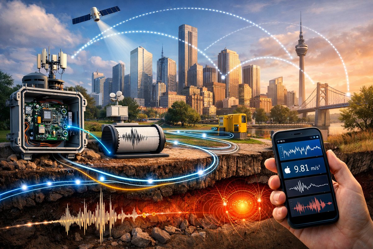
A new wave of urban experiments is transforming everyday gadgets into a citywide network that senses gravity fluctuations, magnetic anomalies and micro-tremors. By combining open-source hardware modules, distributed fiber-optic cables and crowdsourced smartphone data, researchers are revealing a hidden layer of natural forces at work beneath our feet.
In a dimly lit lab on the edge of a bustling metropolis, a group of researchers gathered around a table strewn with circuit boards, fiber-optic cables and salvaged smartphones. Their goal: to turn the urban landscape into a living laboratory for decoding Earth’s most subtle, invisible forces. From minute gravity fluctuations and shifting magnetic fields to infrasound signatures and micro-seismic tremors, they hope to map nature’s hidden rhythms using tools anyone can afford.
What began as a proof of concept in a handful of homes has grown into a citywide collaboration involving hundreds of participants. By attaching low-cost sensor modules to everyday devices, volunteers are capturing accelerometer, magnetometer and barometer readings at high resolution-and feeding them into a public platform that visualizes natural forces in real time. The result is a dynamic map that reveals how gravity vectors sway with passing subway trains, how magnetic pulses spike during solar storms, and how tiny tremors ripple through basement floors after a distant quake.
“Imagine standing on a street corner and seeing a live heatmap of gravity distortions around you,” says one of the project’s leaders, a geophysicist who asked to remain unnamed. “These are forces that have always been there, but we lacked the infrastructure and volume of data to observe them at neighborhood scale. Now, thanks to smartphones and open-source hardware, every resident can become a sensor node.”
At the heart of the network are modular sensor packs that plug into a phone’s charging port or connect wirelessly via Bluetooth. Each module contains a precision accelerometer for detecting micro-gravitational shifts, a three-axis magnetometer for capturing magnetic field strength and direction, and a barometric sensor that tracks air pressure variations with millibar accuracy. The modules cost under a hundred dollars apiece, and the open-source designs are available online for hobbyists to build their own. A free mobile app synchronizes the readings, tags them with location and time stamps, and uploads them to a cloud database for processing.
Early experiments faced calibration challenges. Raw magnetometer data drifted when a phone was moved near metallic objects; barometers fluctuated with indoor heating vents; accelerometers registered every passing bus as a seismic event. To compensate, the research team developed an intelligent calibration routine that encourages users to perform simple orientation drills-rotating the sensor in a figure-eight pattern, placing it on a level surface, tapping in predefined sequences. These routines help algorithms identify and subtract systematic biases, turning noisy readings into reliable indicators of natural phenomena.
In parallel, a small group borrowed techniques from the oil and gas industry’s distributed acoustic sensing (DAS) methods. By running pulse signals down a kilometer-long fiber-optic cable laid along a subway tunnel, they monitored backscattered light for tiny phase shifts caused by ground vibrations. This fiber-optic network acts like a continuous string of microphones embedded in concrete, picking up the subtlest tremors generated by passing trains, foot traffic and distant earthquakes. When correlated with the citizen-powered smartphone data, the researchers can cross-validate events and improve spatial resolution.
During a recent solar storm, the hybrid network captured a sudden surge in magnetic anomalies. Users in the city’s northern district recorded brief spikes in magnetic intensity, while the fiber-optic system registered complementary vibrations-likely induced by ionospheric currents impacting the ground. The combined data provided unprecedented insight into how solar activity couples with urban infrastructure. By comparing these readings with space weather forecasts, city planners could anticipate potential disruptions to power grids and communications networks.
Beyond space weather, the sensor network is revealing subtle seasonal patterns that would otherwise go unnoticed. In wetter months, gravity readings in certain neighborhoods dip fractionally as underground water tables rise. During heat waves, thermal expansion of rail tracks and pipelines causes detectable micro-vibrations around transit hubs. Communities living near old mining shafts have used magnetometer readings to trace buried tunnels, leading to safer urban redevelopment plans. Even local archeological societies are joining the effort, deploying sensors to identify ancient structures based on small magnetic anomalies in the soil.
The platform’s online portal displays live visualizations, historical trends and anomaly alerts. An interactive heatmap shows gravity gradients fluctuating over city blocks. A timeline graph tracks magnetic field strength alongside solar wind data from public space agencies. Users can filter anomalies by type-seismic, magnetic, barometric-and share snapshots with neighbors. A built-in tutorial guides newcomers through sensor setup, calibration and data interpretation, making high-end geophysical techniques accessible to anyone with curiosity and a data plan.
The impact extends beyond hobbyists and researchers. Urban planners are exploring how dense sensor networks could feed into smart infrastructure systems-adjusting traffic light algorithms based on seismic vibrations or triggering emergency alerts if underground gas pipelines show unexpected pressure changes. Insurance companies have expressed interest in localized tremor maps to refine premium calculations for earthquake-prone areas. Educational programs are using the platform to engage students in hands-on science projects, turning city walks into sensor-driven experiments on natural forces.
Still, ethical questions arise around privacy and data ownership. Could large-scale deployment of gravity and magnetometer sensors inadvertently reveal sensitive information, like the locations of buried utilities or even humans moving underground? The research team emphasizes that raw data is anonymized and aggregated before public display, and they maintain strict policies against using the network for surveillance. Sensors placed on private property can be configured to share only processed, non-identifiable metrics.
Looking ahead, the project plans to integrate more advanced quantum sensor nodes as their price points fall. These next-generation devices promise orders-of-magnitude improvements in sensitivity, capable of detecting gravity gradients caused by even small mass movements underground. Researchers envision a hybrid mesh of smartphone modules, fiber-optic cables and portable quantum gravimeters covering entire cities-and perhaps rural regions-offering a real-time window into the planet’s shifting interior.
But the story is not just about cutting-edge technology; it’s about a growing culture of collective curiosity. “When someone sees their own data spike as a train passes or a thunderstorm rolls in, it sparks a deeper connection to the world around them,” notes one volunteer. “You stop taking the ground for granted.”
In an age when natural forces often feel too vast to comprehend or too subtle to notice, this citizen-driven network is breaking down barriers. By empowering individuals to become active participants in Earth observation, the project transforms daily life into a continuous experiment-revealing a dynamic planetary tapestry woven from gravity waves, magnetic pulses and seismic whispers. As the network expands, so does our collective understanding of the hidden forces that shape every moment beneath our feet.












