Location
Mount Vernon, WA 98274

Location
Mount Vernon, WA 98274
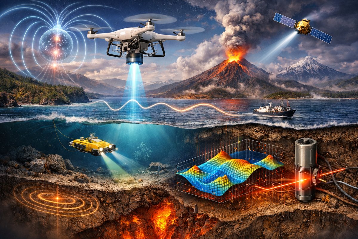
A groundbreaking collaboration has deployed drones, quantum gravimeters, and fiber-optic tiltmeters to chart micro-variations in gravity and magnetism beneath the planet's crust. By integrating airborne surveys, ocean-floor probes, and advanced algorithms, scientists are revealing dynamic shifts that could transform earthquake early warning, volcanic monitoring, and climate research.
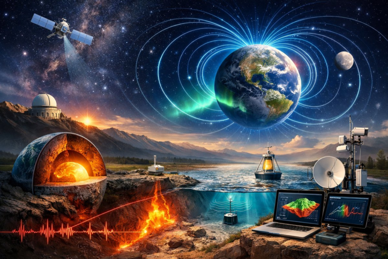
Scientists long suspected that the planet’s unseen forces-tiny ripples in gravity, subtle twists in the magnetic field and minute deformations along fault lines-hold the keys to predicting eruptions, earthquakes and climate-driven changes. Now, an unprecedented international mission has brought together quantum gravimeters, fiber-optic sensing networks and satellite magnetometers in a single, coordinated campaign. By mounting cold-atom gravity sensors on high-endurance drones and weaving an undersea web of optical fibers along mid-ocean ridges, teams are detecting transient mass movements and magnetic swirls at resolutions never achieved before.
In the rugged volcanic terrain of the Pacific Northwest, researchers on a recent field trial deployed custom quadcopter drones equipped with laser-cooled atom interferometers. These quantum gravimeters measure variations in Earth’s pull down to a few parts per billion. As drones hover above fumaroles and lava flows, real-time gravity maps reveal magma chambers filling, silent tremors that escape traditional seismometers and the subtle upswell of molten rock long before flank collapse becomes imminent.
Complementing that effort, a constellation of low-Earth-orbit satellites carrying optically pumped magnetometers has been tracking the planet’s magnetic field lines with sub-nanotesla sensitivity. By comparing successive orbital passes, scientists have begun to discern swirling magnetic eddies triggered by deep mantle plumes and shifting iron flows in the outer core. These magnetic anomalies trace pathways of heat and material transfer that shape surface deformation and may even influence the distribution of precious mineral deposits.
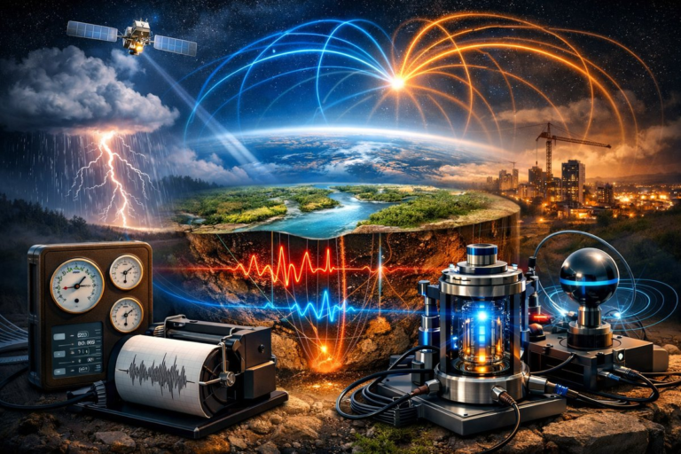
Meanwhile, along the San Andreas Fault and other seismic hot spots, a mesh of underground fiber-optic cables functions as a giant distributed tilt sensor. Tiny strains in the cable change the speed of light pulses traveling through silica fibers-a technique known as distributed acoustic sensing. The result is a continuous, kilometer-scale picture of how rock layers flex and bend over days to months. Researchers can now catch the earliest signs of creeping faults, areas of stress accumulation and post-quake relaxation in unprecedented detail.
Rather than treating gravity, magnetism and strain as separate disciplines, the new initiative merges them into an integrated geophysical observatory. Data streams from drones, satellites, undersea vehicles and ground stations feed into a central analytics hub where machine learning algorithms hunt for correlations. Unexpected couplings have already emerged: gravity anomalies that heralded small-magnitude tremors coincided with localized magnetic pulses, and tilt signals registered in one valley foretold impending unrest in springs miles away.
Key to this approach is the use of advanced pattern-recognition pipelines inspired by neural networks. Trained on historical events, these algorithms sift through terabytes of sensor data to flag minute anomalies and predict their progression. Early results suggest that combining multiple force measurements can cut warning times by up to 30 percent for certain volcanic eruptions and small earthquakes-a leap forward for civil defense agencies and communities in high-risk zones.
Out at sea, autonomous underwater vehicles equipped with miniaturized superconducting gravimeters have been cruising along mid-ocean ridges and subduction zones. By profiling gravity every few meters, these vehicles chart variations caused by rising magma, slab tearing and fluid migration deep beneath the seafloor. The imagery reveals hidden upwelling channels that feed hydrothermal vents, guiding exploration for new marine ecosystems and helping scientists understand ocean circulation’s role in heat transport.
At polar research stations, ground-penetrating gravimetry teams are pairing drone surveys with hot-water drilling to install borehole tiltmeters in the Greenland and Antarctic ice sheets. These instruments detect subtle basal slippage and meltwater pathways that govern glacier flow rates. Their combined readings build a dynamic view of ice-sheet stability, crucial for predicting sea-level rise and its global impact on coastal communities.
Beyond hazard monitoring, the unified observatory model unlocks applications in resource management. Gravity and magnetic surveys guide geothermal exploration by pinpointing heat reservoirs and iron-rich subsurface structures. Fiber-optic tilt networks help water-resource engineers map aquifer deformations during seasonal drawdown. Even carbon sequestration projects stand to benefit from real-time sensing of sub-surface pressure changes that indicate gas migration.
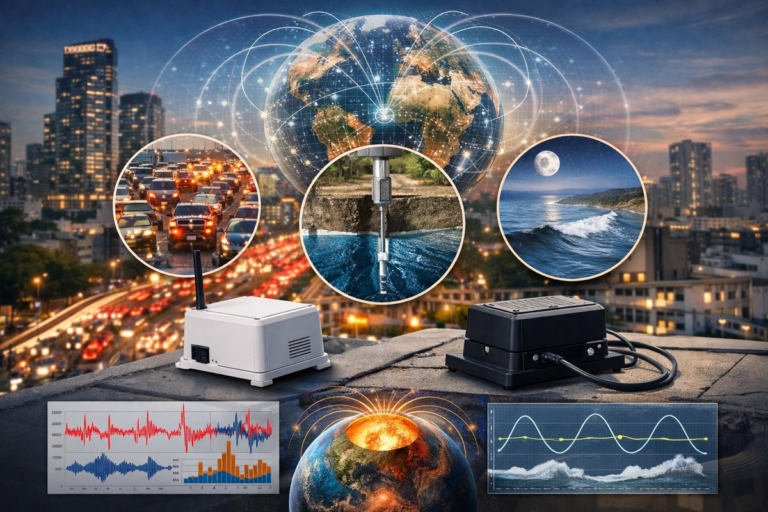
However, the effort faces significant challenges. Environmental noise-wind gusts, temperature swings and human activity-can swamp delicate quantum sensors. Deploying robust drones and wave-resistant undersea vehicles demands rigorous testing under harsh conditions. And achieving precise calibration across diverse instruments requires meticulous cross-validation and on-the-fly corrections.
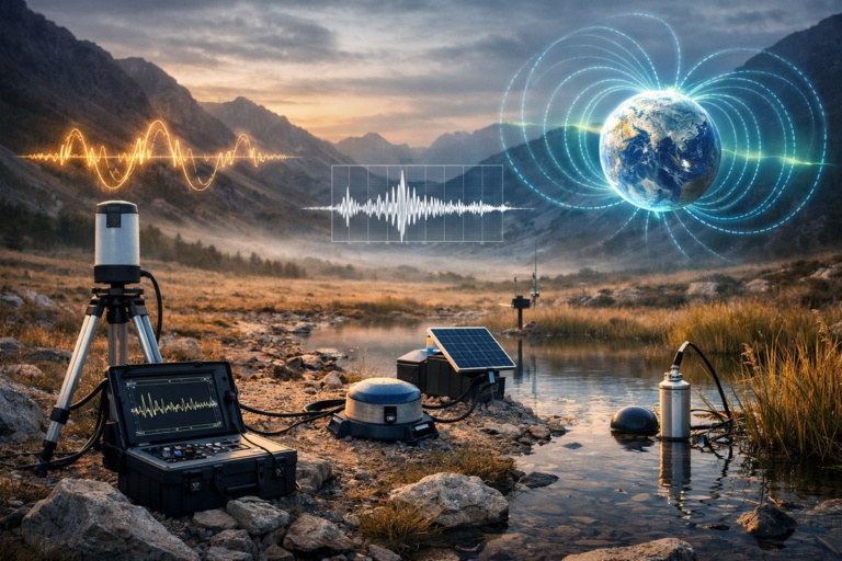
Still, researchers are optimistic about next-generation upgrades. Quantum diamond magnetometers, with their room-temperature operation and nano-scale sensitivity, could soon ride along on standard field laptops. Space agencies are studying dedicated gravity-mapping constellations that would provide continuous, global coverage. And open-source software tools for multi-modal data fusion are lowering the barrier for smaller institutes to join the effort.
By linking gravity, magnetism and strain into a coherent picture, scientists are not only advancing hazard forecasting-they’re rewriting our understanding of Earth’s internal machinery. The emergent patterns uncovered by this network are reshaping geodynamic models, influencing everything from climate projections to deep Earth research and even informing missions to map glaciers on distant moons.
Collaboration remains the project’s heart. Teams of geophysicists work side by side with indigenous communities, integrating traditional land knowledge with precision sensors to build more comprehensive risk assessments. That fusion of cutting-edge technology and centuries-old storytelling emphasizes not just raw data, but the human context of living on a dynamic planet.
As the data streams converge and algorithms refine their forecasts, this integrated observatory stands to become a new standard for Earth science. From the molten core to the ice-sheet margin, we are finally beginning to chart the invisible forces that shape our world. It’s a reminder that even in an age of satellites and quantum devices, a sense of wonder and curiosity remains the most powerful force of all.