Location
Mount Vernon, WA 98274

Location
Mount Vernon, WA 98274
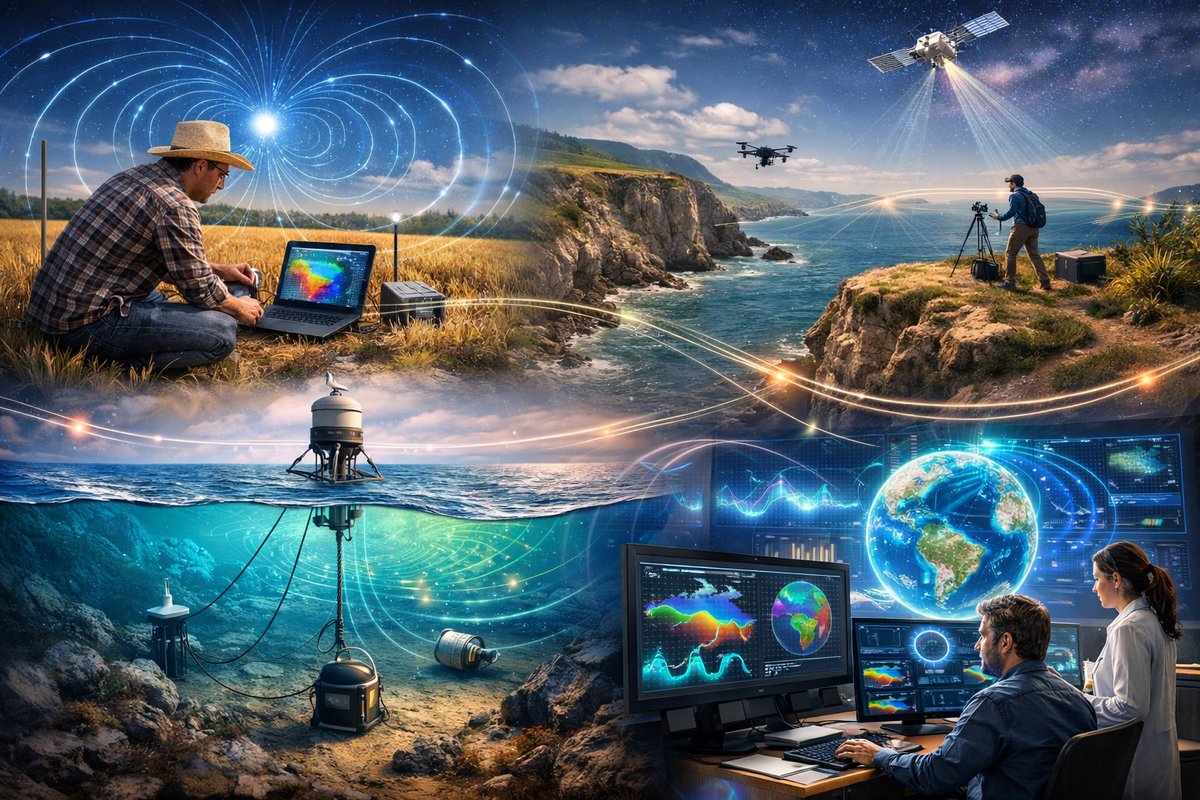
Across global fields and coastlines, communities and researchers are weaving networks of sensors to map invisible magnetic eddies and gravity tides. From backyard experiments to deep-sea buoys, this collaborative approach is revealing Earth's subtle forces in unprecedented detail.
In recent months, a quiet revolution has been taking shape beneath our feet and above our skies. Teams of enthusiasts, citizen scientists, and university researchers are deploying low-cost magnetometers, barometers, and tiltmeter sensors to stitch together a real-time picture of Earth’s hidden forces. These distributed networks are revealing fine-scale magnetic anomalies, whisper-soft gravity waves, and emergent patterns once thought too faint or fleeting to capture.
The effort builds on decades of high-precision geophysical surveys that relied on large research vessels or orbiting satellites. Today’s small-form instruments cost a fraction of their predecessors and can run for months on solar panels and rechargeable batteries. In rural regions, volunteers mount compact magnetic field detectors on farm fences or atop weather balloons. Coastal enthusiasts anchor data-logging buoys offshore, capturing magnetic fluctuations driven by undersea currents. And backyard tinkerers link tilt sensors and accelerometers to open-source controllers, feeding millions of data points into shared databases.
What once required multimillion-dollar expeditions is now a neighborhood project. In one farming community, half-dozen households coordinate weekly calibrations of their handheld magnetometers. Their combined readings unveil fine-grained shifts in the local magnetic field as groundwater levels rise and fall. Elsewhere, hobbyists riding electric bicycles along old rail lines record magnetic signatures of buried structures and forgotten pipelines. Each scan adds a pixel to a global map of subsurface anomalies.
Overhead, volunteers loft weather balloons tethered to tiny atmospheric sensors. As these balloons ascend into the troposphere, they detect subtle gravity waves-ripples in air density driven by mountain ranges, jet streams, and shifting weather fronts. The data augment satellite observations, offering vertical profiles with meter-scale resolution. Scientists are already using these high-altitude measurements to refine storm-tracking models and better forecast sudden turbulence pockets for aviation safety.
Beneath the waves, oceanographers have begun deploying small, solar-powered data buoys fitted with magnetometers and depth gauges. Anchored along undersea ridges and trenches, these buoys sample Earth’s magnetic field at various depths, unveiling anomalies generated by tectonic plate movements. Real-time updates uploaded by satellite link reveal minute changes in seafloor magnetism that may hint at magma intrusions or stress buildup along fault lines.
Meanwhile, a handful of university labs are exploring next-generation quantum gravimeters. These tabletop devices use clouds of ultracold atoms to sense infinitesimal variations in gravitational acceleration. Though still bulky and expensive, quantum gravimeters promise gravity resolution an order of magnitude finer than mechanical sensors. Researchers envision compact quantum units shipping within a few years, expanding gravity networks into remote landscapes where traditional instruments struggle to survive.
The confluence of community-driven magnetometer arrays and cutting-edge gravity sensors is fostering new insights into Earth’s interconnected forces. For instance, localized magnetic anomalies often coincide with subtle gravity micro-tides caused by groundwater flow or seasonal snowpack changes. By fusing these datasets, scientists can tease apart geological structures, aquifer dynamics, and mass redistributions with unprecedented clarity.
Data integration platforms are rapidly evolving to meet these challenges. Open-source mapping tools allow users to overlay magnetism, gravity, and atmospheric profiles on digital elevation models. Machine learning algorithms sift through terabytes of readings, flagging unusual patterns-perhaps a nascent volcanic upwelling or large-scale subsidence due to resource extraction. Public dashboards display near-real-time visualizations, turning raw numbers into colorful contour maps and time-lapse animations.
The grassroots nature of this movement is its greatest strength. Communities in remote regions-often overlooked by traditional surveys-are now generating valuable scientific datasets. A group of hikers in a polar archipelago recently documented tiny magnetic perturbations that led glaciologists to discover a faster-flowing subglacial channel. In tropical forests, amateur researchers uncovered gravity changes linked to seasonal biomass shifts, helping ecologists better estimate carbon sequestration rates.
Challenges remain. Maintaining calibration across thousands of independent sensors requires rigorous protocols and occasional cross-validation against reference stations. Data quality can vary in urban areas plagued by electromagnetic interference. And long-term funding for community-led projects is unpredictable. Still, emerging partnerships between universities, nonprofits, and local networks are creating more stable infrastructures.
Looking ahead, integrating satellite data and aerial drone surveys with ground and ocean sensors will deepen our understanding of Earth’s dynamic processes. Miniaturized quantum gravity probes on drones could hover above remote mountain passes, mapping mass distributions along volcanic flanks. Swarm deployments of sensor-equipped aquatic drones might trace hidden currents and magnetic anomalies beneath polar ice shelves.
This mosaic of collaborative sensing transforms how we observe-and ultimately respond to-natural forces. Early warning systems for earthquakes, volcanic eruptions, and landslides could harness these networks to detect precursory signals sooner. Improved storm forecasting and climate models may emerge from the fusion of atmospheric gravity wave data and ground-level magnetism patterns. Even urban planners can benefit, using high-resolution magnetic maps to identify abandoned tunnels or infrastructure weaknesses.
As technology continues to shrink and costs decline, the power to unveil Earth’s invisible movements shifts from centralized research institutions to global communities. With every balloon launch, bike-mounted magnetometer run, or buoy deployment, citizens become part of a planetary observatory. In weaving these threads of magnetism, gravity, and atmospheric ebb and flow, humanity builds a deeper bond with the natural forces that shape our world.












