Location
Mount Vernon, WA 98274

Location
Mount Vernon, WA 98274
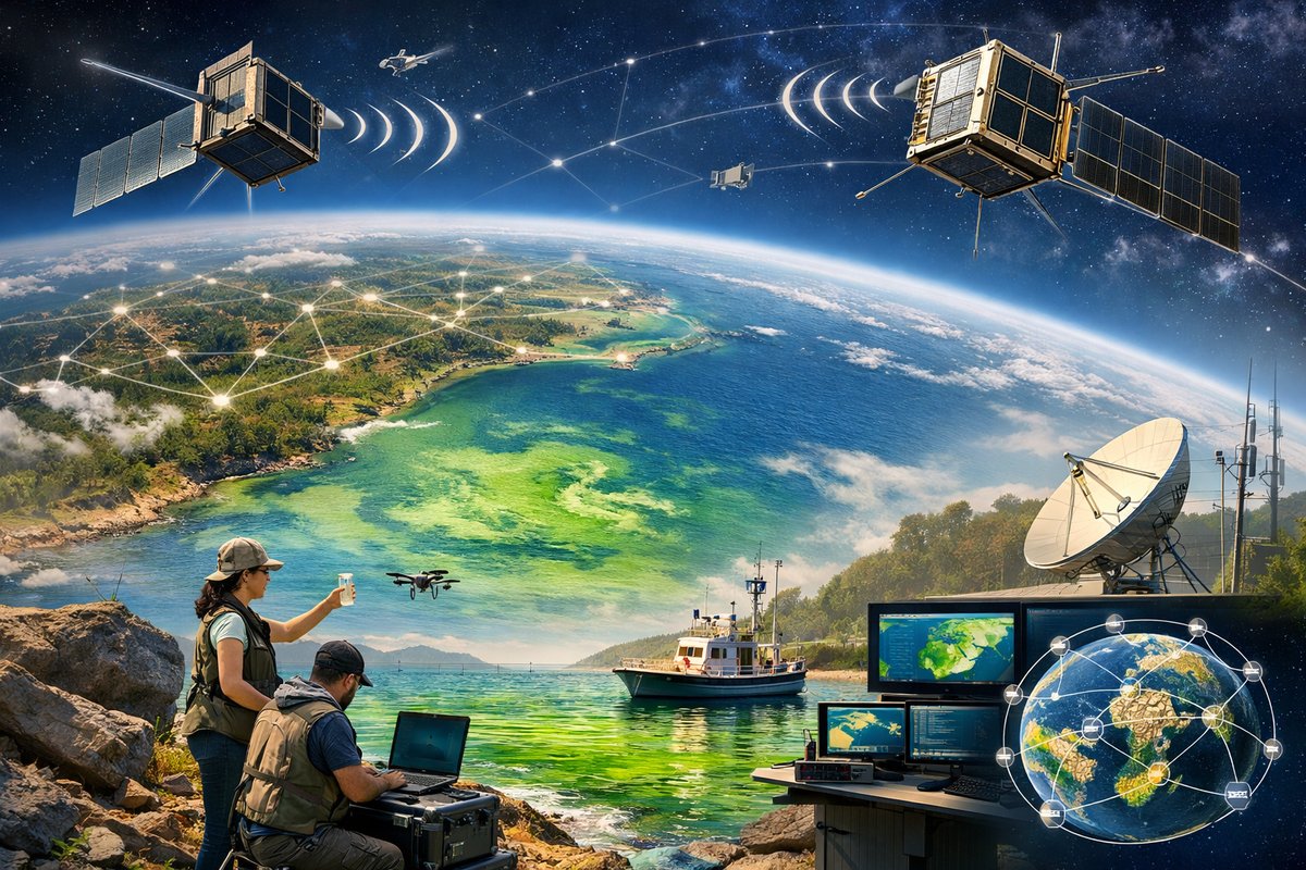
An international network of DIY nanosatellites is transforming how communities monitor harmful algal blooms along coastlines. Built on open-source hardware and powered by citizen scientists, these pint-sized observers offer unprecedented data to protect marine ecosystems and public health.
In a modest garage laboratory perched above Puget Sound, a team of citizen scientists is assembling what may be the smallest environmental monitoring station ever to orbit the Earth. These nanosatellites, or CubeSats, measure just 10 by 10 by 30 centimeters each, yet they carry multispectral imagers capable of detecting chlorophyll concentrations in coastal waters. When launched en masse, this grassroots constellation promises to fill critical gaps in tracking harmful algal blooms that threaten fisheries, tourism, and human health.
Harmful algal blooms occur when colonies of algae grow out of control, often fueled by excess nutrients from agricultural runoff and changing ocean temperatures. Some blooms release toxins that accumulate in shellfish, causing neurological damage or even fatalities in mammals and humans who consume contaminated seafood. Traditionally, monitoring has relied on water sampling ships, buoy networks, and occasional flyovers by aircraft. But these methods lack the spatial coverage and temporal resolution needed to catch rapid bloom development near shore.
Enter the citizen-engineered CubeSat project, launched two years ago by a coalition of oceanographers, hobbyists, and open-source advocates. What began as a university outreach workshop quickly evolved into a global collaboration spanning five continents. Contributors design and 3D-print satellite chassis, integrate off-the-shelf electronics, and write data-processing code shared through public repositories. A rotating team of volunteer engineers tests each unit, ensuring that sensors survive vibration, vacuum, and the extreme temperatures of low Earth orbit.
At the heart of each CubeSat is a compact single-board computer equipped with a multispectral camera module tuned to wavelengths that algae reflect most strongly. A LoRa radio link downlinks compressed imagery to ground stations once per orbit, while a small deployable solar panel array keeps the system powered. Data packets travel through a network of inexpensive software-defined radio receivers maintained by local enthusiasts, who forward the information to a central server for processing.
The software pipeline performs radiometric calibration on each image, corrects for atmospheric scattering, and applies an algorithm to estimate chlorophyll-a concentrations. Machine learning models trained on historical satellite and in-situ measurements sharpen the bloom detections, flagging areas where toxin buildup is likely. The processed maps are then posted on an interactive web portal, color-coded to show low, moderate, or high bloom risk in near real time.
Earlier this spring, the fleet’s first coordinated deployment detected a nascent bloom off the coast of Washington State nearly 36 hours before local monitoring buoys registered elevated chlorophyll levels. Fisheries biologists received an alert and initiated targeted water sampling, confirming that the bloom had already begun to produce neurotoxins. Quick action by public health agencies closed affected shellfish beds, averting a potential outbreak of shellfish poisoning.
Encouraged by this early success, citizen-scientist groups in Eastern Canada and Northern Europe are preparing ground station kits to receive data from the CubeSat network. Educational workshops teach secondary-school students how to build simple antenna arrays and interpret bloom maps. University partners are integrating the open data into coastal ecology courses, allowing students to correlate bloom patterns with water temperature sensors and nutrient runoff models.
The rise of citizen-built satellites represents a new chapter in environmental surveillance. No longer confined to government agencies and large institutions, space-based monitoring tools are now accessible to local communities that bear the brunt of ecosystem threats. By lowering barriers to entry-through open-source blueprints, inexpensive components, and freely available software-this movement fosters deeper engagement in science and empowers stakeholders to make data-driven decisions.
Looking ahead, the project aims to launch dozens more CubeSats, creating an orbital mesh that revisits every major estuary on Earth multiple times per day. Integrating hyperspectral imagers and onboard AI will enable real-time bloom classification and anomaly detection. A planned collaboration with weather-balloon networks could provide vertical profiles of atmospheric aerosol content, refining atmospheric correction algorithms for clearer water imagery.
For curious readers and aspiring citizen scientists, the message is clear: the sky is no longer the limit. By combining small-scale hardware, community networks, and open data tools, anyone can contribute to safeguarding marine health. This democratization of space technology builds resilience against environmental threats, sparks innovation, and brings remote sensing capabilities within reach of the people who need them most. As climate change intensifies and coastal populations grow, such grassroots efforts will play an increasingly vital role in understanding and protecting our shared blue planet.