Location
Mount Vernon, WA 98274

Location
Mount Vernon, WA 98274
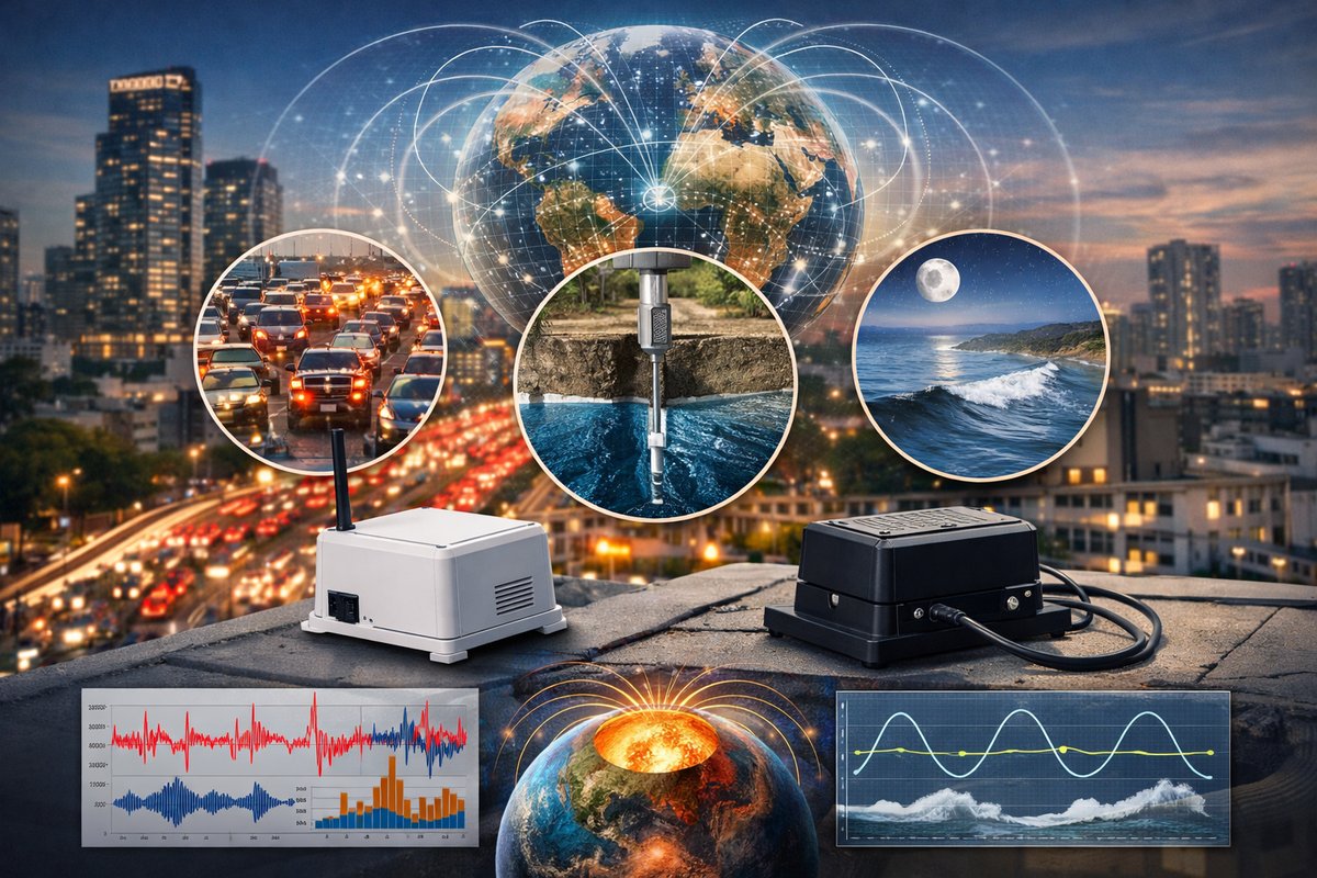
A new open‐source network of compact gravity and magnetic sensors deployed across dozens of cities is uncovering subtle shifts in Earth's fields. Early data hint at correlations with urban traffic, groundwater levels, and even tidal forces-painting a dynamic portrait of our planet's hidden rhythms.
A pioneering consortium of geophysicists and citizen scientists has deployed a sprawling network of low-cost gravity and magnetic sensors in more than 40 urban centers, aiming to decode the faint signals that ebb and flow beneath our feet. By tapping inexpensive, off-the-shelf MEMS accelerometers and magnetometers housed in weatherproof enclosures, the initiative seeks to map minute variations in Earth’s gravitational pull and magnetic field with city-block precision.
The project builds on the rise of do-it-yourself geophysics. Participants-from high-school science clubs to apartment-dwelling hobbyists-install palm-sized sensor nodes on rooftops, windowsills, and park benches. Each node records tiny perturbations in local gravity (measured as changes in acceleration of a few microg) alongside magnetic field fluctuations in the nanotesla range. Data are streamed in real time to a cloud server, then visualized via interactive maps.
Scientists were surprised to see distinct patterns emerge almost immediately. During morning rush hours, thousands of vehicles compress urban overpasses and asphalt surfaces, producing gravity anomalies detectable as slight dips in local acceleration readings. In coastal cities, tidal forces shift the crust by millimeters, triggering cyclical gravity shifts that align perfectly with tidal charts. Meanwhile, magnetometer arrays capture day-night cycles in the ionosphere and local magnetic disturbances tied to train and tram systems.
One unexpected finding came from a sensor cluster in a drought-battered region. Following a brief but intense rainfall, data showed a gradual increase in local gravitational acceleration over several days. Researchers interpret this as groundwater percolating into shallow aquifers-mass redistribution that increases gravitational pull. “It’s like watching the city’s water table breathe,” says one team member. Such insights could enhance early warnings for flooding or subsidence.
Beyond geophysical curiosity, the network holds promise for practical applications. Building engineers can tap real-time gravity data to detect foundation shifts or load changes in large structures. Municipal water authorities may monitor aquifer recharge events without drilling new wells. Transit authorities could track magnetic interference caused by rail traffic, helping to fine-tune signaling systems. And when combined with seismic sensors, gravity and magnetism readings may sharpen earthquake early-warning capabilities, revealing precursory stress changes deep underground.
The project’s modular design encourages rapid expansion. Node hardware costs under $150 in bulk, leveraging a standard 3-axis accelerometer and a tri-axis magnetometer paired with a microcontroller board. An onboard SD card serves as backup storage for offline runs, while a solar-rechargeable battery ensures uninterrupted operation in remote locations. Open-source firmware handles self-calibration routines, compensating for temperature shifts and tilt errors that could distort gravity readings.
On the data side, the consortium has released an API that aggregates sensor streams into a unified time series. Researchers can query regional gravity anomalies by latitude, longitude, and time window, while magnetic field maps plot intensity changes across urban grids. Machine-learning tools are being trained to distinguish between human-made disturbances-like heavy trucks passing-and natural phenomena such as microseismic tremors or tidal gravity waves.
In one pilot study, oceanographers teamed up with network operators to study gravity changes during powerful ocean swells. As deep-sea waves approach shore, local gravitational fields subtly fluctuate in response to mass redistribution in the water column. Coastal sensor clusters recorded these minuscule signals, offering a new window into near-shore wave dynamics that could complement traditional wave buoys.
Quantum sensing startups are also taking interest. By integrating quantum gravimeters-devices that use interference of atomic wavefunctions to measure gravity-with the citizen network, researchers hope to boost sensitivity by orders of magnitude. Early trials in quiet rural settings have already detected gravity shifts caused by subterranean caverns and dense rock formations hundreds of meters below the surface.
Still, the network faces challenges. Urban noise-from heavy machinery, public transport, and pedestrian foot traffic-can overwhelm the faint signals researchers seek. Teams are experimenting with vibration isolation mounts and dynamic filtering algorithms to tease out the natural background hum. Long-term stability of low-cost sensors must also be verified; drift in accelerometer offsets can skew gravity readings over months.
Despite these hurdles, momentum is strong. Regional chapters are forming in Asia, Africa, and South America, where dense city-block sensor grids could reveal gravity and magnetic signatures unique to developing urban environments. Workshops for educators are underway, equipping teachers to build sensor kits in classroom settings and spark student engagement with planetary sciences.
The unfolding portrait of Earth’s hidden forces is both poetic and profound. What once required multimillion-dollar satellites and research vessels can now be glimpsed from a home rooftop. As gravity anomalies and magnetic murmurs come into sharper focus, our understanding of planet-wide processes-water cycles, tectonic stresses, even human impact-stands to deepen. In the quiet data streams, we’re tuning into the subtle heartbeat of the world underfoot, and it has stories to tell.












