Location
Mount Vernon, WA 98274

Location
Mount Vernon, WA 98274
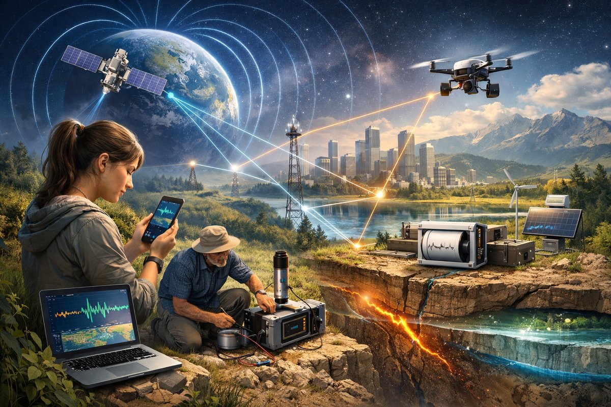
A new citizen-science initiative is rallying everyday volunteers and cutting-edge sensors to track subtle shifts in Earth's magnetic and gravitational fields. By pooling data from smartphones, home-built instruments, and satellite feeds, researchers hope to unlock insights into everything from groundwater changes to early quake warnings.
Humanity has long been enchanted by forces we cannot see yet feel every day-gravity pulling us earthward, magnetism guiding compasses and wildlife migrations. Now a global network of curious volunteers, DIY engineers, and professional geoscientists is weaving these hidden patterns into a living tapestry of data. Their efforts promise breakthroughs in environmental monitoring, hazard forecasting, and climate resilience.
Powered by a new open-source platform dubbed TerraSense, participants install free apps on their smartphones or connect hobby kits-magnetometers, barometers, tiny accelerometers-to record local magnetic and gravitational anomalies. As these readings stream into a cloud database, advanced algorithms sift noise from genuine signals: subtle gravitational tides as oceans slosh, magnetic whorls from solar storms, and unexpected tremors hinting at microseismic events.
Unlike specialized laboratories that often require costly equipment, TerraSense taps tools many already own. A recent study published in Nature Geoscience highlighted how smartphone accelerometers can detect ground motions down to a few tens of micrometers per second. By combining thousands of such readings, the network achieves a sensitivity rivaling mid-range research seismometers. Meanwhile, inexpensive magnetometer modules-once reserved for hobbyists-now cost under fifty dollars and clip onto laptops or tiny microcontroller boards. Volunteers in over forty countries have already contributed more than thirty million individual data points in the first six months alone.
The real innovation lies in fusing magnetic and gravity data streams. Magnetism fluctuates rapidly with solar activity, while gravity variations evolve more slowly, reflecting shifts in mass distribution-melting ice sheets, groundwater pumping, or heavy rains. TerraSense’s hybrid analysis can reveal how extreme weather alters subterranean water reservoirs, or how volcanic magma chambers rise long before any surface cracking. Early tests detected seasonal groundwater depletion in California’s Central Valley weeks ahead of official surveys, offering farmers a chance to adjust irrigation and conserve water.
Privacy and sustainability are at the core of the project. All data contributions remain anonymous, linked only to geocoordinates and timestamps. Volunteers control which sensors share public readings and which remain private. The platform’s code is fully open-source, inviting transparency and collaboration. Energy-efficient coding ensures minimal battery drain on smartphones, while low-power sensor modules can operate for weeks on small solar panels or standard USB power banks.
Gravitational signals, though tiny, carry stories of mass in motion. When heavy storm systems stall over farmland, the added weight of water depresses Earth’s crust by micrometers. TerraSense picks up these flexes and matches them with radar measurements of soil moisture, creating dynamic maps of flood risk. In Japan, local governments have begun pilot programs using real-time gravity data to identify landslide-prone slopes after typhoons.
Magnetism speaks too. During recent solar storms, hundreds of volunteers in Northern Europe recorded sharp magnetic disturbances. By triangulating these data with official geomagnetic observatory readings and satellite magnetometer streams, researchers refined models of how the solar wind interacts with Earth’s magnetosphere. The result: more accurate forecasts of aurora displays and protective warnings for power grids and satellite operators.
Beyond academic research, the initiative ignites public curiosity. Schools have organized “geomagnetic hackathons,” where students build their own sensor rigs and visualize live Earth-system dynamics on classroom screens. Environmental nonprofits use TerraSense dashboards to advocate for smarter water management, showing policymakers real-time evidence of aquifer depletion in vulnerable regions. And in remote communities, DIY sensor kits empower residents to track local environmental changes without waiting for outside experts.
Challenges remain. Data quality control is paramount when contributors use diverse devices under varying conditions. To address this, TerraSense employs machine learning filters that flag outliers-say, a smartphone reading taken inside an elevator shaft or a magnetometer near steel girders. Contributors receive instant feedback when data appear suspect, encouraging better placement and calibration.
Looking ahead, project leaders are exploring integration with commercial drone fleets and high-altitude balloons. By lofting magnetometers and gravimeters above forests and mountainous terrain, the network could fill data gaps where ground sensors are sparse. These airborne nodes would beam down sensor streams to TerraSense’s global grid, offering unprecedented three-dimensional views of Earth’s invisible forces.
The final frontier of this collaboration is emergent phenomena: complex interactions that arise when gravity, magnetism, fluid flows, and tectonic stresses intertwine. Researchers believe that by layering multi-force datasets-seismic hum, magnetic noise, gravitational tides-they can detect precursors to phenomena as varied as volcanic swarms, glacier calving, or deep-earth fluid migrations.
Citizen-scientists, in this vision, are not mere data donors but active partners. Workshops and online forums foster community-driven experiments: one group is testing whether synchronized smartphone tilts can measure urban ground sinking caused by high-rise construction. Another team is correlating magnetic readings from electric vehicle charging stations with local grid fluctuations to gauge electromagnetic interference in cities.
As TerraSense grows, so does the sense of wonder at Earth’s hidden choreography. What once seemed a passive rock is revealed as a dynamic, breathing planet, its forces whispering stories we are only beginning to decode. In the process, we rediscover the joy of collective curiosity, harnessing everyday devices to chart the uncharted and turning invisible patterns into shared knowledge.
A wave of discovery is rising beneath our feet and above our heads. By bridging professional research and grassroots ingenuity, this global network promises to demystify the subtle forces that shape our world-and equip all of us to respond to environmental change with greater insight and resilience.












