Location
Mount Vernon, WA 98274

Location
Mount Vernon, WA 98274
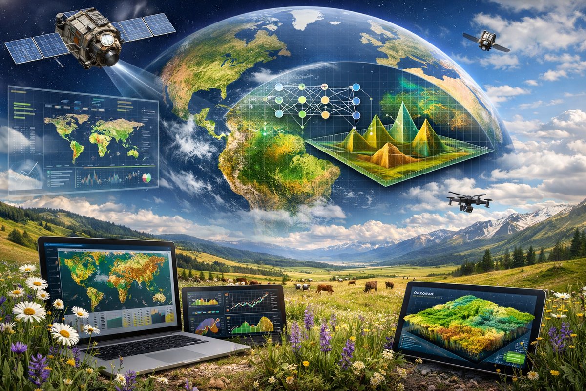
A groundbreaking study harnesses satellite imagery and machine learning to monitor grassland vitality on a global scale, offering new insights into carbon storage and ecosystem resilience. By combining data from multiple Earth observation platforms with advanced algorithms, researchers have developed an open-source mapping tool that tracks seasonal fluctuations and long-term trends in meadows worldwide.
Grasslands cover nearly a quarter of Earth’s land surface and store vast amounts of carbon, yet their health has remained difficult to monitor at scale. Now, an international research team has unveiled a novel approach that fuses remote sensing data with artificial intelligence to map grassland productivity and stress in unprecedented detail.
Drawing on freely available imagery from two satellite missions, the project leverages spectral bands sensitive to chlorophyll dynamics, soil moisture and surface temperature. By training convolutional neural networks on reference data collected by scientists and citizen observers, the system can distinguish between healthy, degraded and recovering patches of grassland.
“We set out to bridge the gap between localized field measurements and global monitoring,” explains Dr. Elena Moreno, lead author of the study published in Nature Climate Change. “Our algorithm taps into the rich spectral information these satellites provide and learns complex patterns of vegetation response over time.”
The team combined data from ESA’s Sentinel-2 and NASA’s Terra satellites, spanning visible, near-infrared and shortwave bands with revisit times as frequent as every five days. Sentinel-2’s fine spatial resolution (10 meters per pixel) reveals small clearings and drainage channels, while Terra’s MODIS sensor contributes thermal infrared readings that hint at moisture stress and nighttime cooling rates.
For training and validation, researchers integrated observations from dozens of long-term monitoring sites across North America, Europe, Africa and Asia. Field ecologists recorded aboveground biomass, soil carbon content and species composition over multiple seasons. A parallel citizen science campaign encouraged volunteers to photograph local meadows, submit geotagged images and note conditions such as grazing intensity and wildfire scars.
The neural network ingests this heterogeneous dataset to learn signatures of stress-drought-induced browning, compaction effects from livestock, or invasive species encroachment. Within hours of any new satellite pass, the model updates its global grassland health map, flagging areas that warrant further investigation.
Initial results reveal a complex mosaic. Regions traditionally viewed as stable, like the steppes of Central Asia, exhibit seasonal pulses of recovery and decline tied to precipitation cycles. Meanwhile, grasslands in some temperate zones show gradual greening over the past decade, likely reflecting restoration efforts and reduced intensive agriculture.
Perhaps most striking are the signals from subtropical savannas, where erratic rainfall patterns have amplified drought stress. The algorithm detected clusters of degradation hotspots in parts of southern Africa and northern Australia, matching reports of reduced pasture yields and higher fire risk from local communities.
“The ability to visualize these trends in near real time transforms how we support land managers,” says Professor Marcus Liu, a remote sensing specialist not involved in the study. “Decisions about grazing rotations, reseeding efforts or fire prevention can now be informed by up-to-date, location-specific data.”
Beyond carbon accounting, grasslands host a rich tapestry of biodiversity. Small mammals, ground-nesting birds and pollinators depend on the intricate rhythm of flowering and dormancy. The new mapping tool captures phenological shifts-early greening, delayed senescence-that can affect life cycles of keystone species.
The researchers have released the code and generated an interactive web portal, allowing conservation groups, local governments and educators to explore grassland dynamics anywhere on the planet. The portal also accepts crowdsourced images and field notes, strengthening the model’s performance in underrepresented regions.
Long-term plans include integrating soil moisture forecasts from weather models and deploying unmanned aerial vehicles equipped with thermal and multispectral sensors to validate satellite observations. Such hybrid monitoring could offer centimeter-scale detail on erosion gullies, invasive weed patches or regrowth after controlled burns.
Grassland restoration projects stand to benefit immediately. By overlaying the global health map with land tenure and grazing concession boundaries, stakeholders can identify priority zones for seed dispersal, community-based management or infrastructure upgrades. Carbon offset programs may also tap the data to verify emission reduction claims tied to soil carbon sequestration.
“This is not just a research curiosity,” reflects Dr. Moreno. “It’s a practical toolkit for anyone who cares about grasslands-ranchers, park rangers, policy makers and curious citizens. When we can see our living landscapes in motion, we gain a deeper sense of stewardship and shared responsibility.”
As climate change intensifies, grasslands will face mounting pressures but also present opportunities for mitigation and adaptation. High-resolution monitoring tools like this one may prove vital in guiding regenerative practices and safeguarding the meadows that sustain livelihoods, wildlife and the balance of our atmosphere.