Location
Mount Vernon, WA 98274

Location
Mount Vernon, WA 98274
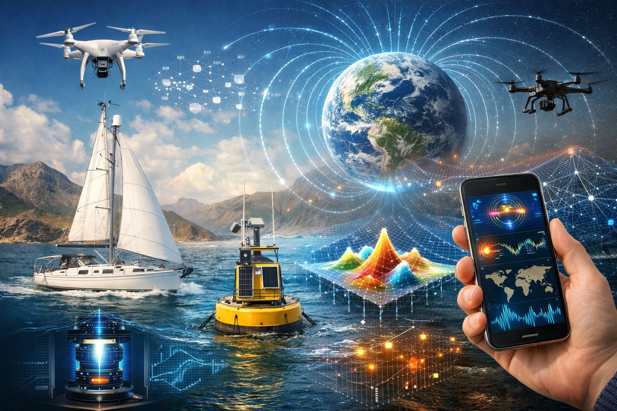
An emerging network of low-cost sensors-deployed on sailboats, buoys, drones and even smartphones-is illuminating the invisible forces that shape our planet. By combining citizen science, quantum gravimeters and machine learning, researchers are decoding magnetism, gravity anomalies and emergent environmental patterns in real time.
Ever since ancient civilizations first observed lodestone align to Earth’s magnetic field, humans have sought to unravel the planet’s unseen forces. Today, a new wave of collaborative research is transforming that centuries-old curiosity into a global mapping endeavor. Sailors, surfers and sensors mounted on buoys are working in tandem with satellite LiDAR and home-built quantum gravimeters, producing unprecedented detail on magnetism, gravity anomalies and emergent environmental flows. This decentralized approach is guiding climate models, informing natural hazard warnings and sparking wonder at the hidden mechanics of our world.
On the open sea, a flotilla of modern-day explorers is quietly charting magnetic variations far from established observatories. Outfitted with compact magnetometer sensor kits and open-source data loggers, recreational sailors are contributing readings every few seconds as they traverse remoter shipping lanes. These vessels record subtle shifts in Earth’s magnetic field caused by undersea ridges, mineral deposits and even solar activity. Streamed in real time to cloud databases, the data help fill critical gaps in marine magnetic maps, offering new insight into plate tectonics and guiding undersea cable routing.
In coastal communities, volunteers are mounting quantum gravimeters on anchored buoys to detect minute changes in local gravitational pull. By exploiting the wave nature of atoms in interferometers, these instruments can sense sub-microgal variations-enough to reveal shifting sediment loads, rising groundwater levels and tidal mass redistribution. When linked across a network of buoys, the resulting gravity gradient map helps researchers forecast flood risk, monitor sea-level rise and track meltwater from distant glaciers. For smaller fishing harbors and ports, that information is already steering maintenance priorities and improving navigational safety.
High above, satellites equipped with LiDAR and gravity gradiometers are scanning broad swaths of the planet. Their observations guide the positioning of surface sensors, creating a multi-scale portrait of gravitational anomalies. By fusing satellite and in-situ measurements through advanced algorithms, scientists are generating high-resolution “gravity terrain” maps that highlight underground water reservoirs, volcanic magma chambers and even hidden fault lines. These maps are becoming indispensable tools for earthquake preparedness and resource management.
At the heart of these efforts lies the power of machine learning. Vast sensor arrays generate petabytes of time-series data: magnetic flux, gravity differentials, temperature, pressure and more. Instead of manual analysis, researchers are training neural networks to recognize emergent patterns-such as pre-eruption gravitational signatures at volcanic sites or localized magnetic field perturbations preceding seismic tremors. By teasing out subtle correlations hidden in noisy data, these models offer early warnings and deepen our understanding of complex Earth systems.
Back on land, citizen scientists are assembling low-cost sensor arrays in backyard workshops and neighborhood co-ops. A handful of barometric sensors, accelerometers and magnetometers plugged into single-board computers can monitor microclimates, track subsidence in urban areas and even map underground fresh water. When dozens of these nodes operate in concert, they form a living mesh of environmental awareness-one that documents how heavy rainfall, construction or seismic shifts ripple through concrete pavements and natural terrain alike.
Smartphones have become unexpected ambassadors of this sensor revolution. Built-in barometers and magnetometers can detect air pressure changes and magnetic dips at street level. When enthusiasts run dedicated apps, they feed thousands of pressure and field strength readings into shared data platforms. In cities, that swarm of localized measurements refines weather forecasts, reveals heat-island dynamics and exposes leaking submerged gas pipelines by spotting gravity anomalies associated with underground voids.
Managing such diverse data streams does present challenges. Calibration against professional-grade instruments is essential to weed out drift and bias. Standardizing formats and ensuring timestamp synchronization across thousands of independent devices requires meticulous coordination. To tackle these hurdles, open-source communities are developing calibration protocols and automated quality checks, allowing newcomers to join the network with confidence that their contributions will hold scientific weight.
Privacy and sustainability also guide these projects. Data portals anonymize location details for participants who prefer discretion, while aggregated outputs preserve community insight without revealing individual patterns. Solar-powered sensor stations and biodegradable housing materials minimize ecological footprints, reflecting a collective commitment to responsible stewardship of both information and the environment.
Research teams are already planning the next generation of portable quantum sensors, aiming to shrink interferometer setups to field-deployable backpacks. Such advances could empower geologists to carry highly sensitive gravity detectors into remote mountain ranges or deep caves-locations where conventional instruments struggle to operate. Paired with augmented-reality visualization tools, explorers might one day walk through a gravity map projected onto rugged terrain, directly observing subsurface structures in real time.
Meanwhile, the combination of magnetometer drones and autonomous marine gliders promises unprecedented coverage of dynamic regions like polar seas and volcanic archipelagos. These robotic platforms can follow pre-programmed routes, sampling at high altitude or varying depths, then return to recharge via solar sails or wave-powered generators. The resulting datasets will illuminate seasonal shifts in ocean circulation and magnetic anomalies tied to geothermal activity.
As these complementary sensor networks expand, their collective intelligence edges closer to a digital twin of our planet’s invisible framework. From micro-scale gravitational fluctuations in backyard gardens to macro-scale magnetic anomalies beneath the ocean floor, every data point enriches a tapestry of hidden forces. Scientists anticipate that integrating these layers of information will unlock breakthroughs in environmental modeling, natural hazard prediction and sustainable development.
The era of passive observation is giving way to an age of active engagement, where enthusiasts and experts collaborate in real time to decode the patterns of nature. What once required multimillion-dollar observatories can now be explored with off-the-shelf sensor kits, single-board computers and community passion. In the swirling dance of Earth’s invisible forces, curiosity has become the ultimate instrument-and the whole planet is listening.












