Location
Mount Vernon, WA 98274

Location
Mount Vernon, WA 98274
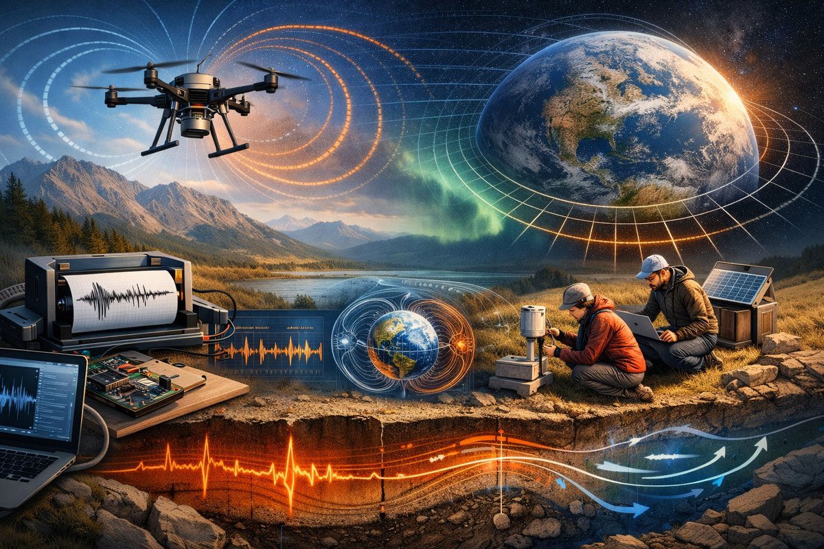
A new wave of distributed sensor networks-from magnetometer-equipped drones to DIY seismographs- is uncovering the invisible workings of gravity, magnetism and fluid dynamics in unprecedented detail. By merging low-cost hardware, citizen science initiatives and cutting-edge AI, researchers are decoding Earth's subtle rhythms and opening a window into forces that shape our world.
In a rural valley under a star-filled sky, volunteers gather at dusk to calibrate a row of small sensor stations. Each station houses a magnetometer module, a digital barometer and a single-board computer. By morning, these devices will record fluctuations in Earth’s magnetic field, subtle pressure variations and tiny ground tremors. Over the course of a week, the data from this grassroots network will reveal a pattern of micro-earthquakes, localized magnetic anomalies and gravity waves rippling through the lower atmosphere.
This is not science fiction but the front line of a rapidly expanding field that treats our planet as a vast laboratory. Advances in miniaturized electronics, wireless communications and machine-learning algorithms are allowing researchers to deploy hundreds or even thousands of low-cost sensors on the ground, in the air and at the edge of space. Instead of relying solely on a handful of expensive research stations, scientists can now tap into a global fabric of citizen-deployed nodes-and even consumer devices-to sense the hidden dynamics of natural forces in real time.
One of the most striking developments has been the integration of drones equipped with magnetometer arrays. Lightweight magnetometer sensor modules, once relegated to specialized labs, now ride beneath quadcopters to map subtle variations in Earth’s magnetic field. In a recent pilot study, researchers flew drone grids over an abandoned mining site to trace the outlines of buried tunnels. The magnetic gradients, invisible to the naked eye, formed a detailed subsurface map that could guide archaeological surveys or mineral explorations without invasive drilling.
Meanwhile, DIY seismographs built around a popular single-board computer are detecting far more than local footfall. By leveraging open-source software and high-sensitivity accelerometers, citizen scientists are capturing microtremors from distant earthquakes, volcanic tremors and even underground water flow. Data from hundreds of home-built stations feed into a machine-learning pipeline that classifies seismic signatures with surprising accuracy-sometimes within seconds. Emergency response teams can use these rapid alerts to monitor aftershock sequences and to refine tsunami warnings in coastal regions.
Above the ground, high-altitude balloon campaigns are charting gravity waves that ripple through the stratosphere. Gravity waves-oscillations driven by buoyancy forces in stratified fluids-play a crucial role in atmospheric circulation and weather patterns. Specialized balloon kits carry compact pressure sensors and GPS units to altitudes above 30 kilometers, where engineers can directly sample wave amplitude and frequency. Combined with satellite observations, these in situ measurements are reshaping our understanding of how energy and momentum transfer between atmospheric layers.
Quantum gravimeters are also moving out of the physics lab and into fieldwork. These devices exploit the wave nature of ultracold atoms to measure tiny changes in gravitational acceleration. In one pioneering project, a portable quantum gravimeter was installed in a coastal marsh to monitor tidal variations and groundwater movements. The device’s sensitivity to microgal-level shifts enabled researchers to track seasonal aquifer recharge and to model shoreline subsidence with unprecedented precision.
All of these efforts share a common thread: distributed sensing powered by affordable hardware and adaptive algorithms. Machine-learning models trained on vast sensor arrays can detect emergent patterns that human analysts might miss. For instance, by correlating magnetic fluctuations with seismic tremors and atmospheric pressure changes, researchers have identified precursor signals for landslides in hilly terrain. Early warning systems built on these hybrid networks could one day save lives in vulnerable communities.
Yet coordinating thousands of disparate sensors poses its own challenges. Data must be time-synchronized to millisecond precision, stored in open-source repositories and annotated with metadata about location, calibration and environmental conditions. To that end, interoperable standards for data formats and communication protocols are emerging from international consortia. Each sensor node can broadcast its readings via low-power wide-area networks or store them locally until a periodic data mule-often a passing vehicle or a solar-powered gateway-collects the packets.
Citizen engagement has proved essential. Local volunteers not only install and maintain the sensors but also help interpret the results. Community science workshops teach participants to solder sensor boards, configure software and visualize multidimensional data. This hands-on approach builds scientific literacy and sustains long-term monitoring efforts, ensuring that data streams remain active far beyond initial research grants.
The marriage of hardware and AI has also pushed the boundaries of fluid dynamics research. By deploying networks of ultrasonic anemometers and pressure sensors across wind farms, engineers are now resolving complex vortex interactions between turbine blades. Machine-learning models ingest terabytes of airflow data to optimize turbine layouts and to predict fatigue-inducing turbulence in real time. The same principles apply to studying ocean currents: drifter buoys equipped with multi-parameter sensors relay salinity, temperature and current velocity back to shore, where neural networks map evolving eddies and upwelling zones.
Meanwhile, magnetotelluric surveys-long used for deep crustal imaging-are being revolutionized by portable induction coil magnetometers and real-time signal processing chips. Field teams can quickly deploy a grid of magnetotelluric stations, each recording natural variations in the earth’s electromagnetic field. Cloud-based inversion algorithms then translate these signals into 3D resistivity models, revealing the distribution of fluids, minerals and geothermal reservoirs at depths of several kilometers.
All these initiatives underscore a shift in how we explore our planet. Rather than relying on centralized labs and singular instruments, the next generation of Earth science will emerge from seamlessly interwoven networks of sensors and smart systems. The real-time awareness of magnetic storms, gravitational anomalies, fluid instabilities and seismic tremors promises not only new scientific insights but also practical benefits-from improved natural hazard warnings to optimized resource management.
As dusk falls once more over the valley, the sensor stations click into sleep mode. Yet every pulse of data collected during the day has already begun to ripple through analytical pipelines halfway around the world. Researchers in urban labs, volunteer coders in remote villages and high-altitude balloon pilots thousands of kilometers away all contribute to a collective understanding of our planet’s hidden rhythms. In this global symphony of sensing, each note-whether a whisper of gravity wave or a subtle magnetic flicker-brings us closer to decoding the natural forces that shape our lives.
In the coming years, the lines between professional scientists, citizen observers and autonomous sensor fleets will blur even further. As hardware continues to shrink, connectivity expands and AI grows more adept, Earth’s invisible forces will become increasingly transparent. By tapping into this distributed intelligence, we stand to unlock breakthrough discoveries and to cultivate a deeper relationship with the world beneath our feet and above our heads.












