Location
Mount Vernon, WA 98274

Location
Mount Vernon, WA 98274
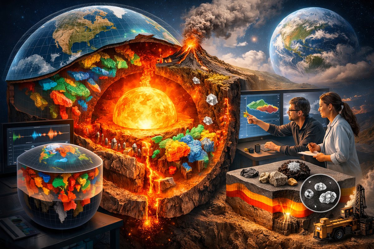
A multinational research team has combined seismic tomography and petrological modeling to produce the first comprehensive three-dimensional map of carbon stored in Earth's mantle. This breakthrough offers fresh insight into the planet's deep carbon cycle, with implications for volcanic activity, climate models, and resource exploration.
In a landmark achievement, geoscientists have unveiled the first global three-dimensional model of carbon distribution deep within Earth’s mantle. By integrating advanced seismic tomography data with petrological and geochemical analyses, the team has produced an unprecedented view of how carbon moves, accumulates, and cycles through the planet’s interior. This new map challenges long-standing assumptions about the sizes and locations of deep carbon reservoirs, pointing to hidden concentrations beneath specific tectonic settings and offering clues to the interplay between Earth’s interior and its surface environment.
The research effort brought together seismic networks from across continents, leveraging thousands of earthquake recordings to trace the velocity of seismic waves as they pass through different mantle materials. Variations in wave speed can reveal changes in temperature and composition, allowing researchers to infer where carbon-bearing minerals might concentrate. To sharpen their interpretation, the team calibrated seismic observations with laboratory measurements of rock samples under high pressures and temperatures. By simulating the behavior of mantle minerals rich in carbon-bearing phases-such as carbonates and diamond-researchers could translate seismic anomalies into quantitative estimates of carbon content.
Building the 3D model required sophisticated computational techniques. The seismic data were first processed through inverse modeling algorithms to produce a velocity-anomaly map of the mantle. Next, petrological constraints were applied to convert anomalies into compositional variations, refining the estimates of carbon concentration at various depths. The resulting visualization spans from the base of Earth’s crust down to the boundary with the outer core, revealing distinct pockets of carbonations hundreds of kilometers beneath volcanic arcs, ancient cratonic roots, and subduction zones.
One surprising finding is the substantial store of carbon beneath stable continental lithosphere, known as cratons. These regions, often thought of as old and inert, appear to harbor more deep carbon than previously estimated. The data suggest that ancient carbon, recycled through early tectonic processes, has been locked away in the mantle for billions of years. In contrast, subduction zones-where oceanic plates dive beneath continental or other oceanic plates-show more dynamic carbon cycling, with carbon-rich fluids ascending toward volcanic centers and contributing to the emissions that shape Earth’s atmosphere.
Understanding the distribution of deep carbon is critical for refining models of volcanic degassing and long-term climate regulation. Carbon released from the mantle through volcanic eruptions has been a major driver of atmospheric composition and temperature over geological timescales. By pinpointing the sources of that carbon, scientists can better predict how fluctuations in volcanic activity might respond to shifts in plate motions or mantle convection patterns.
Beyond its climatic relevance, the 3D carbon map offers practical insights for resource exploration. Carbonate minerals deep in the mantle can influence the formation of certain types of ore deposits and hydrocarbon reservoirs. While these resources form much closer to the surface, their deep-Earth origins trace back to processes illuminated by the new model. By integrating the map with surface geological surveys, exploration teams could improve their targeting strategies in regions underlain by mantle structures conducive to mineral or hydrocarbon accumulation.
Lead researchers emphasize that this global model represents a first step rather than a final answer. The resolution of seismic data varies by region, with denser station coverage yielding finer details. Oceanic areas, where seismometers are sparse, remain less constrained. Future work will focus on deploying additional offshore sensors and coupling the model with high-pressure experiments that simulate mantle conditions more accurately. Enhanced petrological databases and improved algorithms for uncertainty quantification will also help refine estimates of carbon mass and distribution.
“The integration of seismology and petrology was key to this breakthrough,” says one principal investigator. “By crossing disciplinary boundaries and sharing data openly, our team was able to see deep carbon for the first time in three dimensions. This opens the door to new questions about how Earth’s interior has influenced surface environments through time and how it may behave in the future.”
The project highlights the growing importance of open-access data in Earth science. All seismic records and petrological calibrations have been made publicly available, enabling independent researchers to test alternative models and extend the analysis to different geodynamic scenarios. An interactive web portal allows users to visualize the mantle’s carbon distribution in real time, layer by layer, fostering educational use and citizen science collaborations.
Looking ahead, the research community plans to integrate the deep carbon map with parallel efforts mapping other key elements-such as water, iron, and heat flux-in the mantle. Combining these datasets could yield a holistic picture of deep-Earth chemistry and dynamics, with applications ranging from earthquake hazard assessment to understanding the origin of life’s building blocks. The tantalizing prospect of linking deep-Earth processes to the rise and fall of ancient biospheres underscores the interdisciplinary potential of this work.
For students, educators, and enthusiasts eager to explore the data, the project’s portal offers downloadable datasets, interactive visualizations, and guided tutorials. Hands-on modules demonstrate how to convert raw seismic observations into compositional maps, inviting the next generation of geoscientists to engage directly with frontier research. The open structure ensures that the model can be refined continuously as new data and methods emerge.
The unveiling of Earth’s deep carbon map represents a milestone in our quest to understand the planet’s inner workings. It bridges gaps between disciplines, empowers resource management and climate modeling, and invites widespread collaboration. As the map evolves, it will serve as a foundation for discoveries that connect the quantum behavior of carbon atoms to the grand scale of mantle convection and surface evolution. In the spirit of scientific curiosity, this achievement reminds us that even beneath our feet lies a frontier still waiting to be explored.