Location
Mount Vernon, WA 98274

Location
Mount Vernon, WA 98274
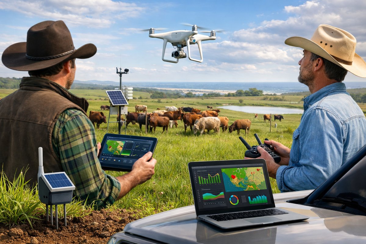
A coalition of ranchers along the Coastal Plains has launched an innovative pilot integrating drones, soil sensors, and mobile data analytics to optimize grazing cycles and boost sustainability. Early results show improved pasture health, lower feed costs, and more efficient water use, marking a significant step toward precision livestock care.
A new wave of technological innovation is sweeping through family-owned ranches on the Coastal Plains, as a consortium of livestock producers embarks on a pilot program that uses drones, soil sensors, and mobile analytics to fine-tune grazing schedules. Dubbed the Precision Pastures Initiative, the effort aims to tackle rising feed costs, water scarcity, and pasture degradation by harnessing real-time data and targeted interventions. Organizers say this marks one of the first regional tests of a fully integrated system designed specifically for midsize cattle operations.
The Precision Pastures Initiative was conceived last winter, after a season of erratic rainfall left stretches of native grassland either parched or waterlogged. Farmers faced mounting bills for supplemental feed and costly water hauling, while concerns about soil erosion and declining forage quality grew. In response, a local agricultural extension group pooled resources from several ranches to invest in a suite of precision tools: off-the-shelf agricultural drones outfitted with multispectral cameras, wireless soil moisture sensors placed across paddocks, and an open-source grazing-management app that syncs all incoming data.
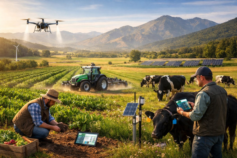
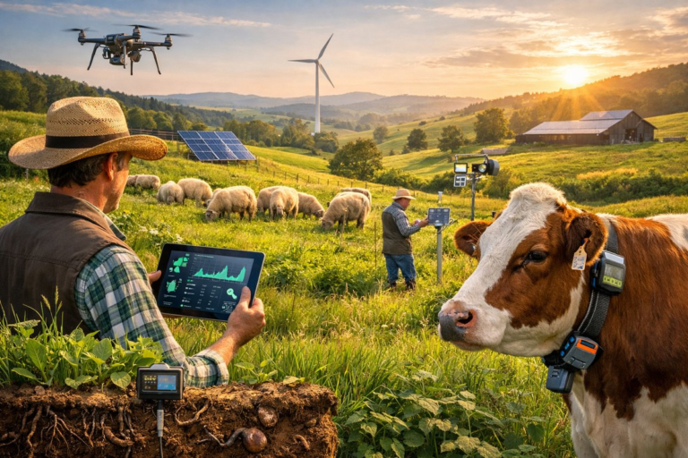
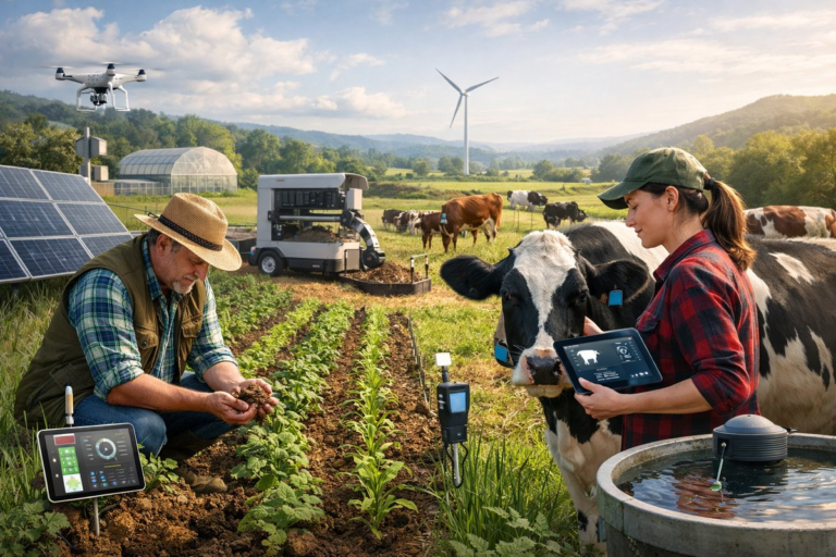
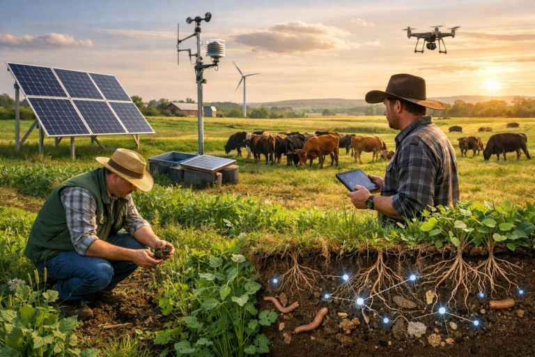
Equipped with a standard quadcopter drone and multispectral imaging payload, each ranch conducts weekly overflights of its grazing fields. Using near-infrared and red-edge bands, the drone captures vegetation indices that reveal plant vigor and biomass density. Those images feed into the mobile app, which overlays sensor data-soil moisture, ambient temperature, and pasture pH-collected from low-power IoT probes buried at multiple depths. The combined information generates a heatmap highlighting plant stress zones and forage potency in near real time.
Farmers then use the color-coded heatmaps to update their rotational grazing plans. Paddocks predicted to support robust growth are opened to cattle sooner, while stressed areas receive a rest period to recover. In wetter sections, the system flags potential waterlogging risks; ranchers can adjust temporary fencing or activate drainage pumps as needed. Dry patches trigger targeted irrigation through drip lines linked to a solar-powered water pump, an approach that reduces waste compared to flood irrigation or blanket sprinkling.
“We’ve always known that rotation helps, but until now, decisions were based on gut feel and visual checks,” says one ranch manager involved in the pilot. “By combining drone imagery with soil probes, we can predict when a pasture has lost 20 percent of its growth potential and move the herd before the damage is done. That cuts down on wasted forage and keeps the grass healthier.” Early figures indicate participants are saving up to 15 percent on supplemental feed expenses and reducing water usage by nearly 10 percent.
Beyond immediate cost savings, the program has spurred unexpected benefits for animal welfare. The grazing-management app includes a feature that tracks cattle locations via GPS-enabled livestock ear tags. When a heatmap shows suboptimal forage or high soil moisture, the system automatically sends alerts so herders can move animals to more comfortable ground. Ranch hands report fewer instances of hoof lesions associated with wet, muddy conditions and a noticeable uptick in livestock weight gain thanks to consistently nutritious grass.
To support the pilot, the coalition partnered with a rural-tech non-profit that provided training on drone operation, sensor calibration, and data interpretation. Workshops held at each ranch covered best practices for maintaining electric net fencing, installing solar fence energizers, and configuring the IoT gateway for reliable data transmission-even in areas with weak cell service. The open-source app was customized to accept third-party sensors, ensuring compatibility with devices many farmers already owned.
Local extension agents have been closely monitoring the initiative’s environmental impacts. Soil samples taken before and after the first grazing season showed improved organic matter levels in rested paddocks, suggesting that precise rest periods can accelerate pasture recovery. Native grass species appear more resilient, and there are early signs of increased carbon sequestration in the topsoil. Though it’s too soon to quantify long-term benefits, the data has drawn interest from adjacent counties looking to replicate the model.
Still, challenges remain. Initial investment in drones and sensors can run into several thousand dollars per ranch, and smaller operations worry about affordability. Connectivity issues in remote areas can disrupt real-time data uploads, forcing ranchers to shuttle memory cards manually. Battery life on sensors and drones requires diligent charging schedules, and occasional software glitches underscore the need for local technical support.
Looking ahead, the coalition hopes to refine the system by integrating weather forecasts, satellite imagery, and predictive analytics powered by machine learning. They envision a platform that recommends grazing rotations weeks in advance based on projected grass growth curves, rainfall probabilities, and market price signals. Plans are also underway to incorporate animal health metrics-such as body condition scans captured by the drone’s high-resolution camera-to further tailor feeding and grazing strategies.
As the Coastal Plains pilot moves into its second grazing cycle, participating ranchers emphasize that precision grazing isn’t a one-size-fits-all solution. Instead, it’s a modular toolkit farmers can adapt to diverse landscapes, herd sizes, and income streams. By merging traditional livestock management with emerging digital tools, these ranchers are forging a path toward more resilient, efficient, and sustainable farming.
Whether the Precision Pastures Initiative can scale across broader regions may hinge on cost reductions, improved connectivity, and farmer-led support networks. But even in its infancy, the project underscores how data-driven decision-making can breathe new life into age-old practices-and help rural communities face the pressures of changing climates, rising input costs, and mounting environmental concerns with innovation and ingenuity.